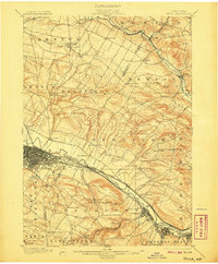
1900 Map of Utica
USGS Topo · Published 1907About this map
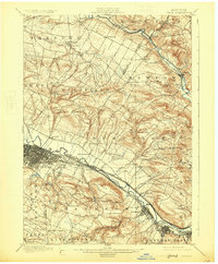
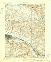
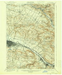
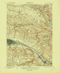
The industrial and transport corridors of the Mohawk Valley define this survey, capturing the region as its rail and water infrastructure reached a peak of complexity. At the heart of the sheet, the city of Utica sits at the junction of the Erie Canal and a dense network of steam-era tracks, including the New York Central and Hudson River R. R. and the West Shore R. R.. The geography revealed here is one of stark contrasts: the organized urban grid and manufacturing centers along the Mohawk River give way to a rugged upland landscape dotted with family-named corners and rural settlements. To the north and south, the map documents the steep relief of Marcy Hill and Dutch Hill, where smaller waterways like Ninernile Creek and Starch Factory Cr carve through the terrain, supporting the outlying hamlets of the Oneida and Herkimer county border.
Find a feature on this map
66 named features on this map. Tap any name to fly to it.
Don’t see what you’re looking for? This feature index may not catch every label — zoom into the map to look around manually.
Map Details
Editions of this 1900 Utica Map
9 editions found
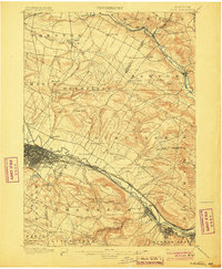
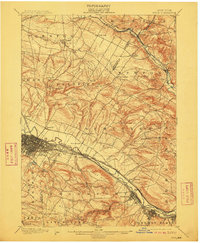
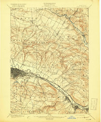
Other maps of this area

1895 · Oriskany
USGS Topo · 1:62,500

1897 · Remsen
USGS Topo · 1:62,500

1898 · Utica
USGS Topo · 1:62,500

1898 · Oriskany
USGS Topo · 1:62,500

1900 · Little Falls
USGS Topo · 1:62,500

1900 · Utica
USGS Topo · 1:62,500

1900 · Remsen
USGS Topo · 1:62,500

1900 · Wilmurt
USGS Topo · 1:62,500

1902 · Wilmurt
USGS Topo · 1:62,500

1903 · Richfield Springs
USGS Topo · 1:62,500