
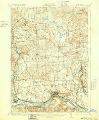
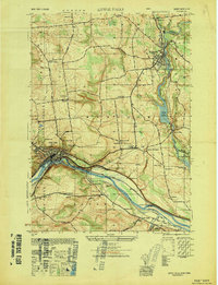
1900 Map of Little Falls
USGS Topo · Published 1900About this map
Industrial and transit corridors along the Mohawk River define this Herkimer County landscape at the close of the 19th century. The concentrated development at Little Falls serves as a focal point, where the Erie Canal and Erie Canal Feeder run parallel to the New York Central and Hudson River R. R. and the West Shore R. R.. This dense infrastructure reflects the area's importance as a gateway between the Hudson Valley and the Great Lakes.
Find a feature on this map
52 named features on this map. Tap any name to fly to it.
Don’t see what you’re looking for? This feature index may not catch every label — zoom into the map to look around manually.
Map Details
Editions of this 1900 Little Falls Map
This is the sole edition of this map. No revisions or reprints were ever made.
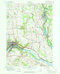
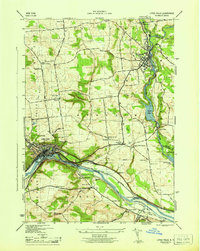
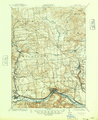
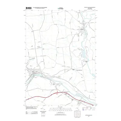
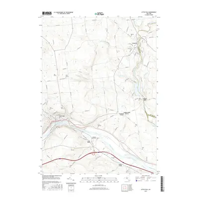
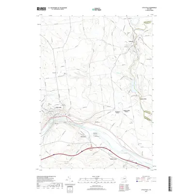
Historical Maps of German Flatts Through Time
12 maps found
1900 Little Falls
Herkimer County, NY
1903 Little Falls
Herkimer County, NY

1939 Little Falls
Herkimer County, NY
1943 Little Falls
Herkimer County, NY
1946 Little Falls
Herkimer County, NY
1949 Little Falls
Herkimer County, NY
1949 Little Falls
Herkimer County, NY

2010 Little Falls
Herkimer County, NY
2013 Little Falls
Herkimer County, NY
2016 Little Falls
Herkimer County, NY
2019 Little Falls
Herkimer County, NY

2023 Little Falls
Herkimer County, NY