
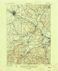
1898 Map of Oriskany
USGS Topo · Published 1898About this map
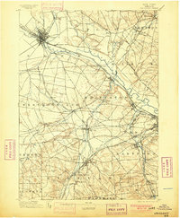
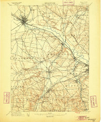
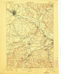
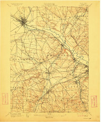
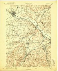
The Mohawk River valley and its bustling late-nineteenth-century industrial network define this survey of Oneida County. Centered on the historic Oriskany Battle Monument, the landscape reveals an era of intense canal and rail connectivity. The Erie Canal and Black River Canal converge near Rome, serving as vital arteries alongside a dense web of railroads, including the New York Central and Hudson River R. R. and the New York Ontario and Western R. R.
Find a feature on this map
70 named features on this map. Tap any name to fly to it.
Don’t see what you’re looking for? This feature index may not catch every label — zoom into the map to look around manually.
Map Details
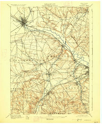
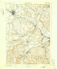
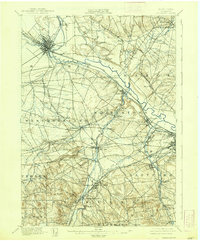
Editions of this 1898 Oriskany Map
10 editions found
Other maps of this area

1895 · Oriskany
USGS Topo · 1:62,500

1895 · Oneida
USGS Topo · 1:62,500

1897 · Remsen
USGS Topo · 1:62,500

1898 · Oneida
USGS Topo · 1:62,500

1898 · Utica
USGS Topo · 1:62,500

1900 · Utica
USGS Topo · 1:62,500

1900 · Remsen
USGS Topo · 1:62,500

1902 · Morrisville
USGS Topo · 1:62,500

1902 · Oneida
USGS Topo · 1:62,500

1904 · Boonville
USGS Topo · 1:62,500