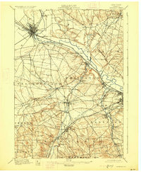
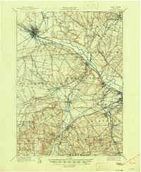
1898 Map of Oriskany
USGS Topo · Published 1927About this map
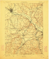
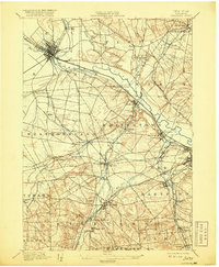
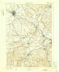
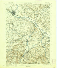
The Mohawk River valley serves as a bustling corridor of trade and transport in this late 19th-century survey of Oneida County. The landscape is defined by the convergence of the Erie Canal and the Black River Canal at Rome, illustrating the industrial era's reliance on waterway connections. To the southeast, the Chenango Canal traces a path toward the growing city of Utica, while the New York Central and Hudson River R.R. parallels the water routes. The map documents numerous manufacturing and milling hamlets, such as Hecla Works, Clark Mills, and Washington Mills, showing the widespread distribution of water-powered industry along Oriskany Creek. Near the center of the sheet, the Oriskany Battle Monument stands as a landmark of local historical memory, overlooking a region transitioning from agricultural roots to a dense network of rail-side settlements like Whitesboro and New Hartford.
Find a feature on this map
72 named features on this map. Tap any name to fly to it.
Don’t see what you’re looking for? This feature index may not catch every label — zoom into the map to look around manually.
Map Details
Editions of this 1898 Oriskany Map
10 editions found
Other maps of this area

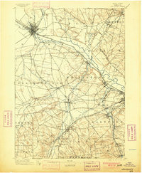
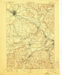
1895 · Oriskany
USGS Topo · 1:62,500

1895 · Oneida
USGS Topo · 1:62,500

1897 · Remsen
USGS Topo · 1:62,500

1898 · Oneida
USGS Topo · 1:62,500

1898 · Utica
USGS Topo · 1:62,500

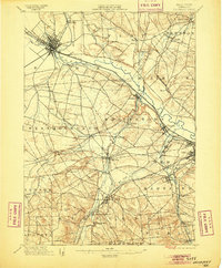
1898 · Oriskany
USGS Topo · 1:62,500

1900 · Utica
USGS Topo · 1:62,500

1900 · Remsen
USGS Topo · 1:62,500

1902 · Morrisville
USGS Topo · 1:62,500

1902 · Oneida
USGS Topo · 1:62,500