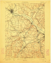
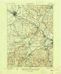
1898 Map of Oriskany
USGS Topo · Published 1911About this map
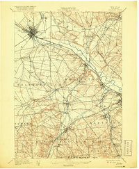
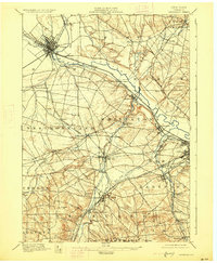
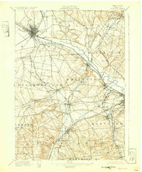
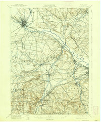
The Mohawk River corridor serves as the industrial and transit spine of this central New York landscape during the late nineteenth century. In this era, the region was a complex intersection of early waterborne transport and burgeoning rail networks, featuring the Erie Canal, Black River Canal, and the Chenango Canal. The city of Rome sits at a critical junction of these waterways and several rail lines, including the Rome Watertown and Ogdensburg R.R.. Beyond the urban centers, specialized industrial hamlets like Hecla Works and the Franklin Iron Works highlight the manufacturing character of the county. Historical memory is anchored by the Oriskany Battle Monument near the village of Oriskany, marking a significant Revolutionary War site. To the south, the landscape transitions toward educational and residential landmarks such as College Hill and Forest Hill Cemetery near Utica.
Find a feature on this map
74 named features on this map. Tap any name to fly to it.
Don’t see what you’re looking for? This feature index may not catch every label — zoom into the map to look around manually.
Map Details
Editions of this 1898 Oriskany Map
10 editions found
Other maps of this area

1895 · Oriskany
USGS Topo · 1:62,500

1895 · Oneida
USGS Topo · 1:62,500

1897 · Remsen
USGS Topo · 1:62,500

1898 · Oneida
USGS Topo · 1:62,500

1898 · Utica
USGS Topo · 1:62,500

1898 · Oriskany
USGS Topo · 1:62,500

1900 · Utica
USGS Topo · 1:62,500

1900 · Remsen
USGS Topo · 1:62,500

1902 · Morrisville
USGS Topo · 1:62,500

1902 · Oneida
USGS Topo · 1:62,500