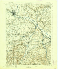
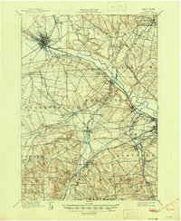
1898 Map of Oriskany
USGS Topo · Published 1938About this map
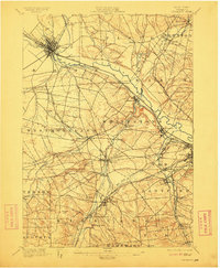
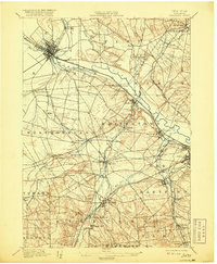
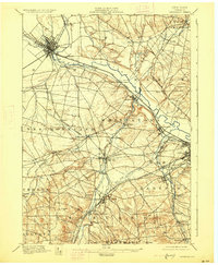
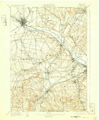
The Mohawk River valley serves as a bustling corridor of 19th-century transit on this 1893 survey, where the historic Erie Canal and Black River Canal converge near Rome. This landscape is defined by the industrial and transport infrastructure of Central New York, featuring the Oriskany Battle Monument and early manufacturing clusters like Hecla Works and Franklin Iron Works. The map reveals the intricate network of rail lines including the New York Central and Hudson River R.R. and the Delaware Lackawanna and Western R.R., which facilitated the growth of textile and milling villages such as Washington Mills and Chadwicks. From the academic heights of College Hill near Clinton to the dense street grids of Utica and Whitesboro, the sheet documents a period when water power and steam rail defined the regional economy and social geography.
Find a feature on this map
71 named features on this map. Tap any name to fly to it.
Don’t see what you’re looking for? This feature index may not catch every label — zoom into the map to look around manually.
Map Details
Editions of this 1898 Oriskany Map
10 editions found
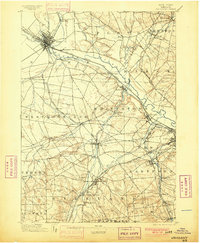
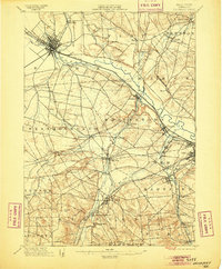
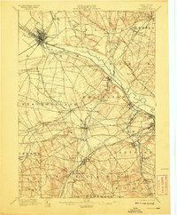
Other maps of this area

1895 · Oriskany
USGS Topo · 1:62,500

1895 · Oneida
USGS Topo · 1:62,500

1897 · Remsen
USGS Topo · 1:62,500

1898 · Oneida
USGS Topo · 1:62,500

1898 · Utica
USGS Topo · 1:62,500

1898 · Oriskany
USGS Topo · 1:62,500

1900 · Utica
USGS Topo · 1:62,500

1900 · Remsen
USGS Topo · 1:62,500

1902 · Morrisville
USGS Topo · 1:62,500

1902 · Oneida
USGS Topo · 1:62,500