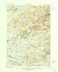
1902 Map of Wilmurt
USGS Topo · Published 1947About this map
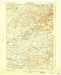
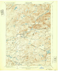
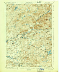
West Canada Creek carves through this northern landscape, serving as a central artery for the hamlets and timberlands of the southern Adirondacks at the turn of the century. The small settlements of Wilmurt and Nobleboro sit at key junctions where the creek meets its tributaries, while Morehouseville stands as a lonely outpost further east. The map captures an era of evolving water management, showing the early footprints of the Hinckley Reservoir and Twin Lakes Reservoir alongside naturally occurring bodies like Honnedaga Lake and Spectacle Lake. High peaks such as Ft. Noble Mt. and Baldface Mt. anchor the rugged topography, illustrating the challenging terrain that dictated early road placements and township boundaries between Norway and Salisbury. This 1898 survey provides a precise record of the isolated farmsteads and creek-side communities before modern infrastructure altered the Adirondack interior.
Find a feature on this map
57 named features on this map. Tap any name to fly to it.
Don’t see what you’re looking for? This feature index may not catch every label — zoom into the map to look around manually.
Map Details
Editions of this 1902 Wilmurt Map
8 editions found
Other maps of this area

1897 · Remsen
USGS Topo · 1:62,500

1898 · Utica
USGS Topo · 1:62,500

1900 · Little Falls
USGS Topo · 1:62,500

1900 · Utica
USGS Topo · 1:62,500

1900 · Remsen
USGS Topo · 1:62,500

1900 · Canada Lake
USGS Topo · 1:62,500

1900 · Wilmurt
USGS Topo · 1:62,500

1901 · Old Forge
USGS Topo · 1:62,500

1901 · Lassellsville
USGS Topo · 1:62,500

1902 · Wilmurt
USGS Topo · 1:62,500