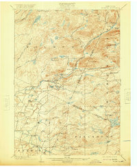
1902 Map of Wilmurt
USGS Topo · Published 1920About this map
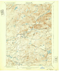
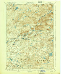
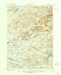
The settlement of Wilmurt sits at the junction of several mountain roads near the banks of West Canada Creek, serving as a central point in this turn-of-the-century Adirondack survey. The landscape is defined by its complex water systems, where the South Branch and West Canada Creek meet near Nobleboro. Local industry and infrastructure are represented by the presence of the Twin Lakes Reservoir and a network of brooks and ponds like Spectacle Lake and Atwood Lake that supported early Adirondack life. To the east, the village of Morehouseville marks the edge of the settled territory before the terrain rises toward Ft Noble Mt and Baldface Mt. Smaller, isolated outposts like California and Gray appear in the southern portion of the map, illustrating the sparse but deliberate expansion of timber and farming communities across the Adirondack foothills.
Find a feature on this map
58 named features on this map. Tap any name to fly to it.
Don’t see what you’re looking for? This feature index may not catch every label — zoom into the map to look around manually.
Map Details
Editions of this 1902 Wilmurt Map
8 editions found
Other maps of this area

1897 · Remsen
USGS Topo · 1:62,500

1898 · Utica
USGS Topo · 1:62,500

1900 · Little Falls
USGS Topo · 1:62,500

1900 · Utica
USGS Topo · 1:62,500

1900 · Remsen
USGS Topo · 1:62,500

1900 · Canada Lake
USGS Topo · 1:62,500

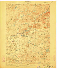
1900 · Wilmurt
USGS Topo · 1:62,500

1901 · Old Forge
USGS Topo · 1:62,500

1901 · Lassellsville
USGS Topo · 1:62,500

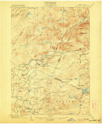
1902 · Wilmurt
USGS Topo · 1:62,500