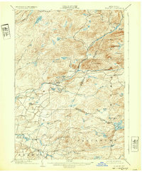
1902 Map of Wilmurt
USGS Topo · Published 1932About this map
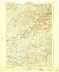
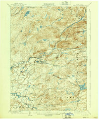
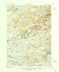
West Canada Creek winds through the heart of this Adirondack region, serving as the primary drainage for a landscape defined by countless glacial lakes and high peaks. Surveyed at the close of the 19th century, the map reveals the scattered settlements of Wilmurt and Nobleboro, which anchored the local economy alongside the hamlet of Ohio further south. The expansion of regional water infrastructure is evident in the presence of the Hinckley Reservoir and Twin Lakes Reservoir, while the northern reaches remain dominated by dense wilderness features such as Ft Noble Mt and the headwaters of the Black River. This 1902 edition, reprinted in the early 1930s, documents the intricate network of brooks and vlys, like Wilder Vly, that characterize the southern edge of the Adirondack Park before mid-century development further altered the hydrology of the area.
Find a feature on this map
58 named features on this map. Tap any name to fly to it.
Don’t see what you’re looking for? This feature index may not catch every label — zoom into the map to look around manually.
Map Details
Editions of this 1902 Wilmurt Map
8 editions found
Other maps of this area

1897 · Remsen
USGS Topo · 1:62,500

1898 · Utica
USGS Topo · 1:62,500

1900 · Little Falls
USGS Topo · 1:62,500

1900 · Utica
USGS Topo · 1:62,500

1900 · Remsen
USGS Topo · 1:62,500

1900 · Canada Lake
USGS Topo · 1:62,500

1900 · Wilmurt
USGS Topo · 1:62,500

1901 · Old Forge
USGS Topo · 1:62,500

1901 · Lassellsville
USGS Topo · 1:62,500

1902 · Wilmurt
USGS Topo · 1:62,500