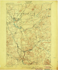
1900 Map of Remsen
USGS Topo · Published 1904About this map
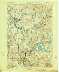
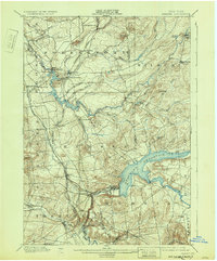
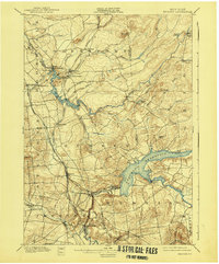
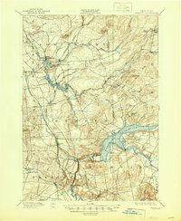
The confluence of the Black River and Woodhull Creek at Forestport anchors this turn-of-the-century portrait of Oneida and Herkimer Counties. A dense network of industrial and transport infrastructure dominates the western landscape, where the Adirondack Division and the Rome Watertown And Ogdensburg R. R. connect established timber and mill towns. Significant waterpower sites like Trenton Falls and Bardwell Mill indicate the region's reliance on the swift currents of West Canada Creek and its tributaries.
Find a feature on this map
58 named features on this map. Tap any name to fly to it.
Don’t see what you’re looking for? This feature index may not catch every label — zoom into the map to look around manually.
Map Details
Editions of this 1900 Remsen Map
9 editions found
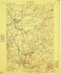
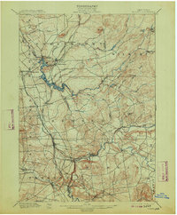
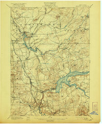
Other maps of this area

1895 · Oriskany
USGS Topo · 1:62,500

1897 · Remsen
USGS Topo · 1:62,500

1898 · Utica
USGS Topo · 1:62,500

1898 · Oriskany
USGS Topo · 1:62,500

1900 · Little Falls
USGS Topo · 1:62,500

1900 · Utica
USGS Topo · 1:62,500

1900 · Remsen
USGS Topo · 1:62,500

1900 · Wilmurt
USGS Topo · 1:62,500

1901 · Old Forge
USGS Topo · 1:62,500

1902 · Wilmurt
USGS Topo · 1:62,500