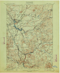
1900 Map of Remsen
USGS Topo · Published 1913About this map
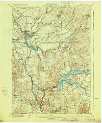
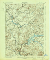
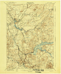
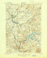
West Canada Creek and the Black River define the hydraulic landscape of this Oneida County region at the turn of the century. The map captures a critical era of water management and industrial transit, featuring the Black River Feeder and the complex rail network of the Adirondack Division and the Rome Watertown and Ogdensburg R. R. The settlement pattern follows the river valleys and rail sidings, from the logging and milling centers at Forestport and Bardwell Mill to the prominent cataracts at Trenton Falls. Higher elevations like Starr Hill and Myers Hill overlook a mosaic of small farming communities such as Steuben Valley and Gravesville, providing a look at the rural infrastructure before modern road systems and reservoir projects altered the course of the local waterways.
Find a feature on this map
61 named features on this map. Tap any name to fly to it.
Don’t see what you’re looking for? This feature index may not catch every label — zoom into the map to look around manually.
Map Details
Editions of this 1900 Remsen Map
9 editions found
Other maps of this area

1895 · Oriskany
USGS Topo · 1:62,500

1897 · Remsen
USGS Topo · 1:62,500

1898 · Utica
USGS Topo · 1:62,500

1898 · Oriskany
USGS Topo · 1:62,500

1900 · Little Falls
USGS Topo · 1:62,500

1900 · Utica
USGS Topo · 1:62,500

1900 · Remsen
USGS Topo · 1:62,500

1900 · Wilmurt
USGS Topo · 1:62,500

1901 · Old Forge
USGS Topo · 1:62,500

1902 · Wilmurt
USGS Topo · 1:62,500