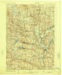
1902 Map of Morrisville
USGS Topo · Published 1924About this map
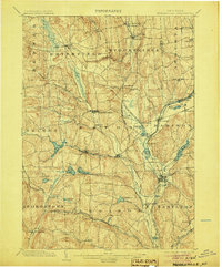
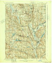
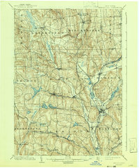
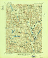
The highlands of Madison County are defined by a complex hydraulic network of reservoirs and historic waterways. Morrisville sits at the center of this 1899 survey, flanked by dozens of small dairy-era hamlets like Peterboro, Siloam, and Bouckville. The landscape reveals the critical role of water management in the early industrial era, specifically through the Chenango Canal (Western Division) and its feeders such as Lelands Pond and the Bradley Brook Reservoir, which were engineered to maintain navigation levels.
Find a feature on this map
63 named features on this map. Tap any name to fly to it.
Don’t see what you’re looking for? This feature index may not catch every label — zoom into the map to look around manually.
Map Details
Editions of this 1902 Morrisville Map
8 editions found
Other maps of this area

1895 · Chittenango
USGS Topo · 1:62,500

1895 · Oriskany
USGS Topo · 1:62,500

1895 · Oneida
USGS Topo · 1:62,500

1897 · Cazenovia
USGS Topo · 1:62,500

1898 · Oneida
USGS Topo · 1:62,500

1898 · Chittenango
USGS Topo · 1:62,500

1898 · Oriskany
USGS Topo · 1:62,500

1899 · Cazenovia
USGS Topo · 1:62,500

1902 · Chittenango
USGS Topo · 1:62,500

1902 · Morrisville
USGS Topo · 1:62,500