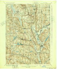
1902 Map of Morrisville
USGS Topo · Published 1932About this map
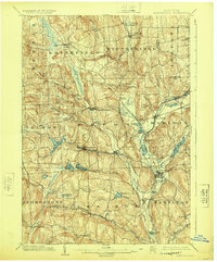
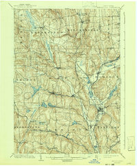
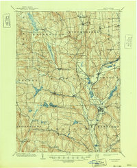
Morrisville and its surrounding dairy and hop-growing country are captured in this turn-of-the-century topographic study, a landscape defined by an intricate network of water management and early rail transport. The map highlights the legacy of the Chenango Canal, which follows the Chenango River valley through Hamilton and Pecksport, supported by a series of upland feeders like Eaton Reservoir and Bradley Brook Reservoir. These water bodies, along with Madison Reservoir, provided the necessary head for the canal system that connected the Susquehanna and Mohawk valleys.
Find a feature on this map
60 named features on this map. Tap any name to fly to it.
Don’t see what you’re looking for? This feature index may not catch every label — zoom into the map to look around manually.
Map Details
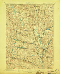
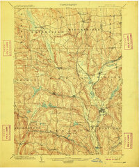
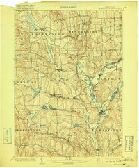
Editions of this 1902 Morrisville Map
8 editions found
Other maps of this area

1895 · Chittenango
USGS Topo · 1:62,500

1895 · Oriskany
USGS Topo · 1:62,500

1895 · Oneida
USGS Topo · 1:62,500

1897 · Cazenovia
USGS Topo · 1:62,500

1898 · Oneida
USGS Topo · 1:62,500

1898 · Chittenango
USGS Topo · 1:62,500

1898 · Oriskany
USGS Topo · 1:62,500

1899 · Cazenovia
USGS Topo · 1:62,500

1902 · Chittenango
USGS Topo · 1:62,500

1902 · Morrisville
USGS Topo · 1:62,500