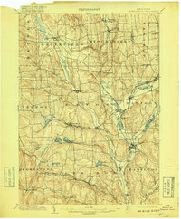
1902 Map of Morrisville
USGS Topo · Published 1918About this map
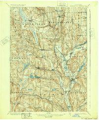
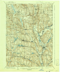
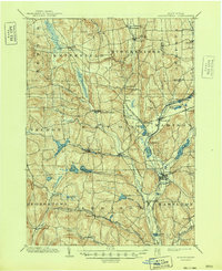
Morrisville and Hamilton anchor this rural landscape in Madison County at the turn of the century, defined by a complex hydraulic network of reservoirs and canals. The engineering of the Chenango Canal and Canal Reservoir illustrate the legacy of 19th-century transport, while the New York Ontario and Western RR and the D L and W R R signal the dominance of steam rail. Water management is a central theme, visible in the numerous controlled basins like Eaton Reservoir, Bradley Brook Reservoir, and Kingsley Reservoir that dot the valleys. From the northern edge at Peterboro down to the southern crossroads of Earlville, the map reveals a settled agricultural and industrial interior. Small hamlets like Siloam and Pratts Hollow appear alongside active stations such as Morrisville Station and Georgetown Station, providing a detailed look at the infrastructure that supported these central New York communities before modern highway development.
Find a feature on this map
69 named features on this map. Tap any name to fly to it.
Don’t see what you’re looking for? This feature index may not catch every label — zoom into the map to look around manually.
Map Details
Editions of this 1902 Morrisville Map
8 editions found
Other maps of this area

1895 · Chittenango
USGS Topo · 1:62,500

1895 · Oriskany
USGS Topo · 1:62,500

1895 · Oneida
USGS Topo · 1:62,500

1897 · Cazenovia
USGS Topo · 1:62,500

1898 · Oneida
USGS Topo · 1:62,500

1898 · Chittenango
USGS Topo · 1:62,500

1898 · Oriskany
USGS Topo · 1:62,500

1899 · Cazenovia
USGS Topo · 1:62,500

1902 · Chittenango
USGS Topo · 1:62,500

1902 · Morrisville
USGS Topo · 1:62,500