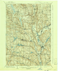
1902 Map of Morrisville
USGS Topo · Published 1943About this map
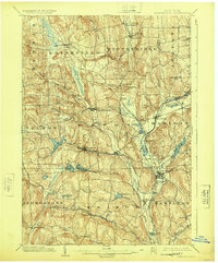
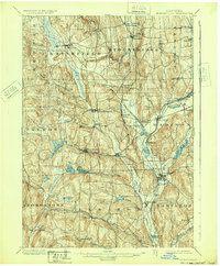
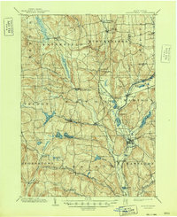
The village of Morrisville serves as a central hub in this turn-of-the-century portrait of Madison County, a landscape defined by its intricate water management systems and early rail infrastructure. The map reveals the extensive engineering of the region, where the Chenango Canal once operated alongside newer transportation corridors like the New York Ontario and Western RR. Numerous reservoirs, including Eaton Reservoir, Bradley Brook Reservoir, and the Canal Reservoir, dot the terrain, illustrating how the natural drainage of Oneida Creek and the Chenango River was harnessed for industrial and canal use.
Find a feature on this map
63 named features on this map. Tap any name to fly to it.
Don’t see what you’re looking for? This feature index may not catch every label — zoom into the map to look around manually.
Map Details
Editions of this 1902 Morrisville Map
8 editions found
Other maps of this area

1895 · Chittenango
USGS Topo · 1:62,500

1895 · Oriskany
USGS Topo · 1:62,500

1895 · Oneida
USGS Topo · 1:62,500

1897 · Cazenovia
USGS Topo · 1:62,500

1898 · Oneida
USGS Topo · 1:62,500

1898 · Chittenango
USGS Topo · 1:62,500

1898 · Oriskany
USGS Topo · 1:62,500

1899 · Cazenovia
USGS Topo · 1:62,500

1902 · Chittenango
USGS Topo · 1:62,500

1902 · Morrisville
USGS Topo · 1:62,500