
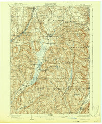
1897 Map of Cazenovia
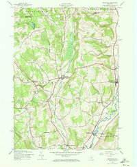
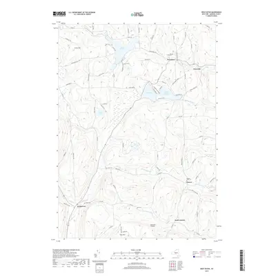
USGS Topo · Published 1953About this map
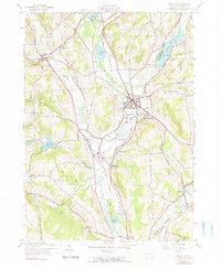
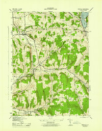
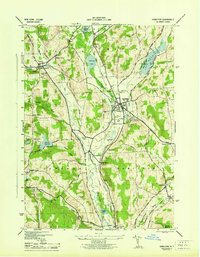
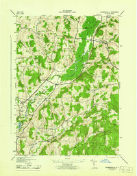
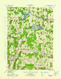
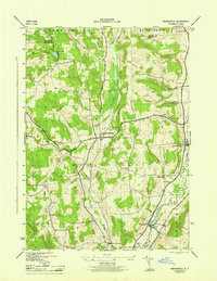
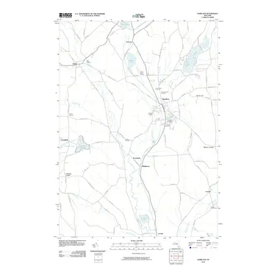
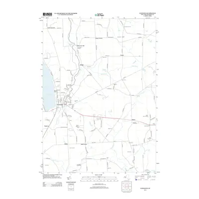
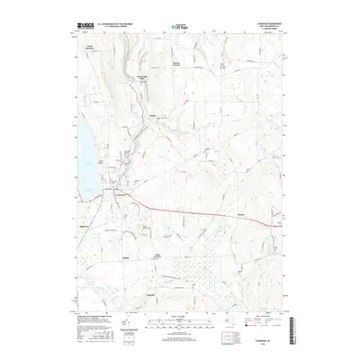
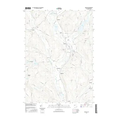
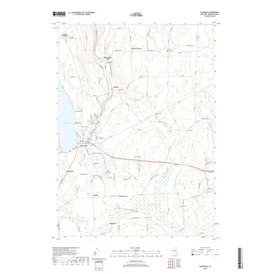
Cazenovia Lake sits at the heart of this central New York landscape, which was meticulously surveyed in the final years of the nineteenth century. The map documents a sophisticated transit corridor where the West Shore R. R. and Lehigh Valley R. R. intersect near Rippleton, facilitating the movement of agricultural goods and people between local hubs like Cazenovia and Nelson. Water management and industrial power are evident in the presence of the Erieville Reservoir and De Ruyter Reservoir, alongside natural features such as Edwards Falls and Stone Quarry Falls near Manlius.
Find a feature on this map
59 named features on this map. Tap any name to fly to it.
Don’t see what you’re looking for? This feature index may not catch every label — zoom into the map to look around manually.
Map Details
Editions of this 1897 Cazenovia Map
This is the sole edition of this map. No revisions or reprints were ever made.
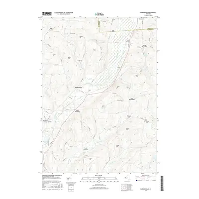
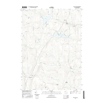
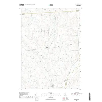
Historical Maps of Manlius Through Time
46 maps found
1897 Cazenovia
Madison County, NY

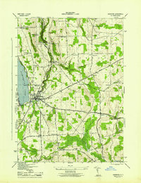
1899 Cazenovia
Madison County, NY
1907 Sangerfield
Madison County, NY
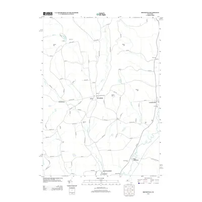
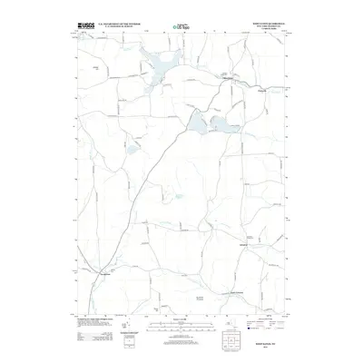
1943 Brookfield
Madison County, NY
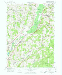
1943 Cazenovia
Madison County, NY
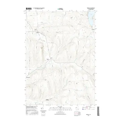
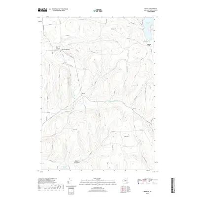
1943 Erieville
Madison County, NY
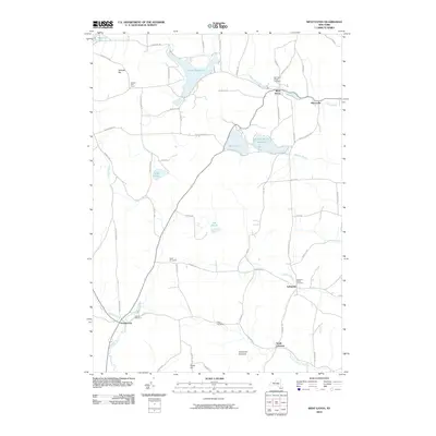
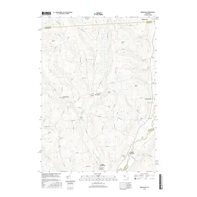
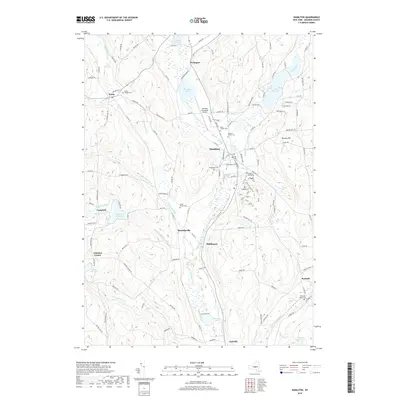
1943 Hamilton
Madison County, NY
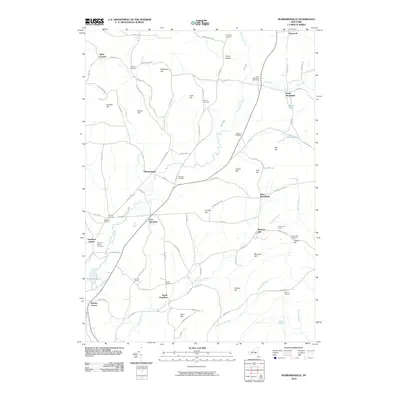
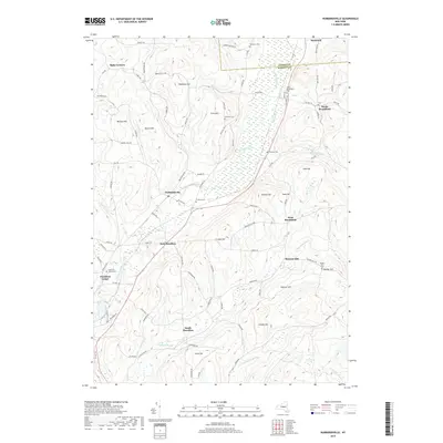
1943 Hubbardsville
Madison County, NY

1943 Sangerfield
Madison County, NY
1943 West Eaton
Madison County, NY
1944 Cazenovia
Madison County, NY
1944 Erieville
Madison County, NY
1944 Hamilton
Madison County, NY
1944 Hubbardsville
Madison County, NY
1944 West Eaton
Madison County, NY
1945 Brookfield
Madison County, NY
2010 Brookfield
Madison County, NY
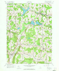
2010 Cazenovia
Madison County, NY
2010 Erieville
Madison County, NY
2010 Hamilton
Madison County, NY
2010 Hubbardsville
Madison County, NY
2010 West Eaton
Madison County, NY
2013 Brookfield
Madison County, NY
2013 Cazenovia
Madison County, NY
2013 Erieville
Madison County, NY
2013 Hamilton
Madison County, NY
2013 Hubbardsville
Madison County, NY
2013 West Eaton
Madison County, NY
2016 Brookfield
Madison County, NY
2016 Cazenovia
Madison County, NY
2016 Erieville
Madison County, NY
2016 Hamilton
Madison County, NY
2016 Hubbardsville
Madison County, NY
2016 West Eaton
Madison County, NY
2019 Brookfield
Madison County, NY
2019 Cazenovia
Madison County, NY
2019 Erieville
Madison County, NY
2019 Hamilton
Madison County, NY
2019 Hubbardsville
Madison County, NY
2019 West Eaton
Madison County, NY

2023 Brookfield
Madison County, NY

2023 Cazenovia
Madison County, NY

2023 Erieville
Madison County, NY

2023 Hamilton
Madison County, NY

2023 Hubbardsville
Madison County, NY

2023 West Eaton
Madison County, NY