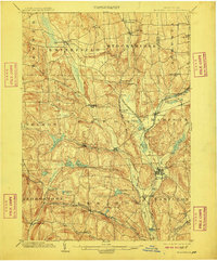
1902 Map of Morrisville
USGS Topo · Published 1910About this map
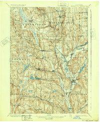
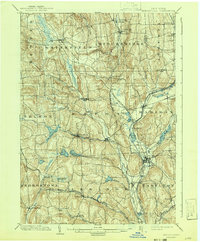
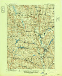
Morrisville and its surrounding hill country define this central New York landscape at the turn of the century, a period when the regional economy was deeply tied to water management and rail transport. The defunct Chenango Canal remains a prominent landmark, tracing a path near Bouckville and Pecksport, while the New York Ontario and Western RR provides the primary industrial backbone for towns like Eaton and Hamilton. A sophisticated network of artificial water bodies, including the Eaton Reservoir, Bradley Brook Reservoir, and Madison Reservoir, highlights the 19th-century engineering required to feed the canal systems and power local industry. From the higher elevations of Light Hill down to the village clusters of Peterboro and Munnsville, the map documents a settled agricultural and industrial corridor transitioning into the early 20th century.
Find a feature on this map
64 named features on this map. Tap any name to fly to it.
Don’t see what you’re looking for? This feature index may not catch every label — zoom into the map to look around manually.
Map Details
Editions of this 1902 Morrisville Map
8 editions found
Other maps of this area

1895 · Chittenango
USGS Topo · 1:62,500

1895 · Oriskany
USGS Topo · 1:62,500

1895 · Oneida
USGS Topo · 1:62,500

1897 · Cazenovia
USGS Topo · 1:62,500

1898 · Oneida
USGS Topo · 1:62,500

1898 · Chittenango
USGS Topo · 1:62,500

1898 · Oriskany
USGS Topo · 1:62,500

1899 · Cazenovia
USGS Topo · 1:62,500

1902 · Chittenango
USGS Topo · 1:62,500

1902 · Morrisville
USGS Topo · 1:62,500