
1903 Map of Norwich
USGS Topo · Published 1903About this map
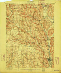
The Chenango River valley serves as the primary corridor for commerce and transit in this turn-of-the-century survey, anchoring the industrial and residential core of Norwich. This hub is flanked by a dense network of smaller agricultural and milling settlements such as Plasterville and Woods Corners, while the surrounding hills host more isolated communities like Preston Center and Beaver Meadow. The era's heavy reliance on rail transport is evident through the path of the D. L. & W. R. R. (Utica Div.) and the N. Y. O. & W. R. R., which follow the river and local topography to connect these valley towns.
Find a feature on this map
59 named features on this map. Tap any name to fly to it.
Don’t see what you’re looking for? This feature index may not catch every label — zoom into the map to look around manually.
Map Details
Editions of this 1903 Norwich Map
5 editions found
Other maps of this area

1897 · Cazenovia
USGS Topo · 1:62,500

1899 · Cazenovia
USGS Topo · 1:62,500

1902 · Coventry
USGS Topo · 1:62,500

1902 · Morrisville
USGS Topo · 1:62,500

1904 · Greene
USGS Topo · 1:62,500

1904 · Oxford
USGS Topo · 1:62,500

1904 · Pitcher
USGS Topo · 1:62,500

1907 · Sangerfield
USGS Topo · 1:62,500

1910 · New Berlin
USGS Topo · 1:62,500

1912 · New Berlin
USGS Topo · 1:62,500