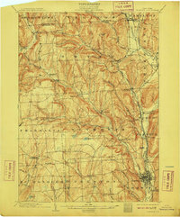
1903 Map of Norwich
USGS Topo · Published 1910About this map
The Chenango River valley serves as the primary corridor for commerce and transit in central Chenango County at the dawn of the twentieth century. The street grid of Norwich dominates the southern portion of the sheet, while the village of Smyrna and the rural crossroads of Irelands Mills anchor the interior uplands. This 1900 survey captures the region's sophisticated rail infrastructure, notably the New York Ontario and Western RR and the Delaware Lackawanna and Western RR (Utica Div), which facilitated the movement of goods between small hubs like Sherburne and Earlville. High ridges such as Berry Hill and Pigeon Hill divide the drainage basins of the Canasawacta Creek and the Otselic River, illustrating a landscape of tight-knit valley hamlets like South Plymouth and North Pharsalia connected by a network of early country roads before the era of modern highways.
Find a feature on this map
66 named features on this map. Tap any name to fly to it.
Don’t see what you’re looking for? This feature index may not catch every label — zoom into the map to look around manually.
Map Details
Editions of this 1903 Norwich Map
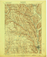
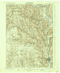
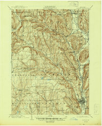
5 editions found
Other maps of this area

1897 · Cazenovia
USGS Topo · 1:62,500

1899 · Cazenovia
USGS Topo · 1:62,500

1902 · Coventry
USGS Topo · 1:62,500

1902 · Morrisville
USGS Topo · 1:62,500

1903 · Norwich
USGS Topo · 1:62,500

1904 · Greene
USGS Topo · 1:62,500

1904 · Oxford
USGS Topo · 1:62,500

1904 · Pitcher
USGS Topo · 1:62,500

1907 · Sangerfield
USGS Topo · 1:62,500

1910 · New Berlin
USGS Topo · 1:62,500