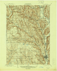
1903 Map of Norwich
USGS Topo · Published 1944About this map
The Chenango River valley serves as the industrial and transportation spine of this region at the start of the twentieth century, where the Utica Div Delaware Lackawanna and Western RR and the New York Ontario and Western RR converge at Norwich. This rail connectivity fueled the development of various Chenango County hubs, from the northern village of Earlville to the rural centers of Smyrna and Sherburne. Away from the river corridors, the landscape rises into a complex network of ridges and hollows, including Nigger Hill and Dark Hollow. These uplands are dotted with smaller agricultural and milling settlements such as Irelands Mills, Beaver Meadow, and North Pharsalia. The intricate hydrography of the area, defined by Canasawacta Creek and Otselic River, illustrates a reliance on local water power for the many scattered hamlets like Plymouth and Preston that defined the early dairy and milling economy of the central New York highlands.
Find a feature on this map
67 named features on this map. Tap any name to fly to it.
Don’t see what you’re looking for? This feature index may not catch every label — zoom into the map to look around manually.
Map Details
Editions of this 1903 Norwich Map
5 editions found
Other maps of this area

1897 · Cazenovia
USGS Topo · 1:62,500

1899 · Cazenovia
USGS Topo · 1:62,500

1902 · Coventry
USGS Topo · 1:62,500

1902 · Morrisville
USGS Topo · 1:62,500

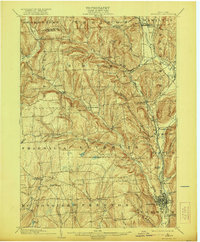
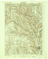
1903 · Norwich
USGS Topo · 1:62,500

1904 · Greene
USGS Topo · 1:62,500

1904 · Oxford
USGS Topo · 1:62,500

1904 · Pitcher
USGS Topo · 1:62,500

1907 · Sangerfield
USGS Topo · 1:62,500

1910 · New Berlin
USGS Topo · 1:62,500