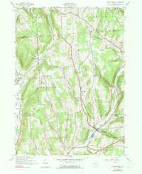
1943 Map of South Otselic
USGS Topo · Published 1990About this map
South Otselic and the surrounding high ground of Chenango Co and Madison Co define this wartime landscape, as documented in 1943. The region is characterized by a network of small upland settlements and the valley of the Otselic River. Cultural landmarks significant for genealogical research include the Crumb Hill Cem, Woodlawn Cem, and North Pitcher Cem, which serve as anchors for family histories in the townships of Lincklaen and Otselic. The rural infrastructure of the era is evident in the presence of local schools like Pond Sch and Lane Sch, alongside small crossroads such as Mariposa and Waldron Corners. A notable specialized land use is the Fish Hatchery located near the river south of the main village. The terrain is marked by prominent elevations like Crumb Hill and Silas Hill Mountain, which channeled early roads and settlement patterns along the many brooks that feed into the central valley.
Find a feature on this map
40 named features on this map. Tap any name to fly to it.
Don’t see what you’re looking for? This feature index may not catch every label — zoom into the map to look around manually.
Map Details
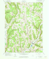
Editions of this 1943 South Otselic Map
3 editions found
Other maps of this area

1897 · Cazenovia
USGS Topo · 1:62,500

1899 · Cazenovia
USGS Topo · 1:62,500

1902 · Morrisville
USGS Topo · 1:62,500

1903 · Norwich
USGS Topo · 1:62,500

1904 · Pitcher
USGS Topo · 1:62,500

1943 · Otselic
USGS Topo · 1:24,000

1943 · De Ruyter
USGS Topo · 1:24,000

1943 · West Eaton
USGS Topo · 1:24,000

1943 · South Ostelic
USGS Topo · 1:24,000

1943 · Cincinnatus
USGS Topo · 1:24,000