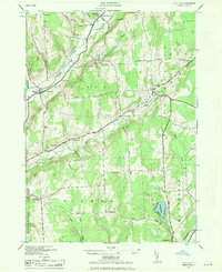
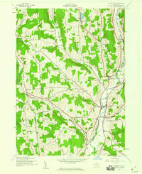
1943 Map of Pitcher
USGS Topo · Published 1970About this map
The Otselic River valley defines the northwestern landscape of this region, where the small hamlets of North Pitcher and Pitcher served as early centers of commerce and community. This mid-century military edition, later released for civil use, reveals a dense network of upland roads connecting numerous family-named landmarks and essential rural institutions. Local history is deeply etched into the terrain through a series of namesake burial grounds, including Pink Cem, Hinman Cem, and Soper Cem.
Find a feature on this map
49 named features on this map. Tap any name to fly to it.
Don’t see what you’re looking for? This feature index may not catch every label — zoom into the map to look around manually.
Map Details
Editions of this 1943 Pitcher Map
2 editions found

Other maps of this area

1902 · Coventry
USGS Topo · 1:62,500
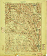
1903 · Norwich
USGS Topo · 1:62,500

1904 · Greene
USGS Topo · 1:62,500

1904 · Oxford
USGS Topo · 1:62,500

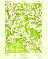
1904 · Pitcher
USGS Topo · 1:62,500
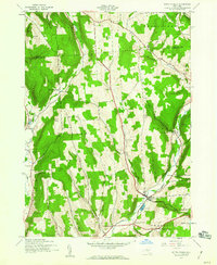
1943 · Otselic
USGS Topo · 1:24,000
1943 · South Ostelic
USGS Topo · 1:24,000
1943 · Cincinnatus
USGS Topo · 1:24,000
1943 · East Pharsalia
USGS Topo · 1:24,000
1943 · Cuyler
USGS Topo · 1:24,000