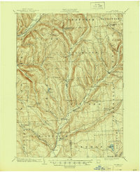
1904 Map of Pitcher
USGS Topo · Published 1944About this map
Deep-cut valleys and upland plateaus define the borderlands of Chenango, Cortland, and Madison counties at the dawn of the twentieth century. The Otselic River and its major tributaries, including Mud Creek and Brakel Creek, dictate the placement of local trade centers and agriculture. In the southwestern corner, the Erie and Central New York R.R. terminates at Cincinnatus, while the Lehigh Valley R.R. skirts the northern edge through Tripoli. These rail connections were vital for the region's dairy and timber economies, linking remote hamlets like Pitcher Springs, South Otselic, and Mariposa to wider markets. The topography is dominated by prominent summits such as Mt. Roderick and Potter Hill, which separate the various drainage basins. Local family history and settlement patterns are preserved in names like Pitcher, Lincklaen, and Taylor Center, reflecting the rural character of this Central New York landscape.
Find a feature on this map
65 named features on this map. Tap any name to fly to it.
Don’t see what you’re looking for? This feature index may not catch every label — zoom into the map to look around manually.
Map Details
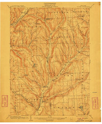
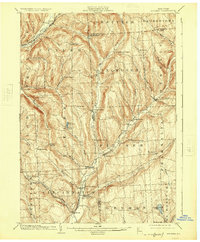
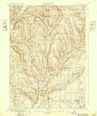
Editions of this 1904 Pitcher Map
5 editions found

Other maps of this area

1897 · Cazenovia
USGS Topo · 1:62,500

1899 · Cazenovia
USGS Topo · 1:62,500

1900 · Tully
USGS Topo · 1:62,500

1902 · Coventry
USGS Topo · 1:62,500

1902 · Morrisville
USGS Topo · 1:62,500

1903 · Norwich
USGS Topo · 1:62,500

1903 · Cortland
USGS Topo · 1:62,500

1903 · Harford
USGS Topo · 1:62,500

1904 · Greene
USGS Topo · 1:62,500

1904 · Oxford
USGS Topo · 1:62,500