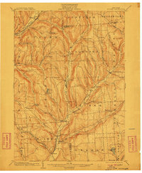
1904 Map of Pitcher
USGS Topo · Published 1910About this map
The Otselic River and Cheningo Creek valleys dominate this early 20th-century landscape, where a dense network of upland farms and small hamlets defined the rural economy of Cortland and Chenango Counties. Settlement follows the water, with larger hubs like Cincinnatus and South Otselic anchoring the river crossings. The transport infrastructure of the era is clearly visible, featuring the Lehigh Valley RR (Elmira and Cortland Branch) skirting the northwestern corner and the Erie and Central New York RR serving the southern valley. Genealogists will find a wealth of specific locale names, from higher-elevation points like Cuyler Hill and Mt. Roderick to small clusters like Lincklaen Center, Taylor Center, and Pitcher Springs. The map reveals a highly structured division of land, with numerous survey boundary lines and named streams like Brakel Creek and Genegantslet Creek cutting through the hills.
Find a feature on this map
62 named features on this map. Tap any name to fly to it.
Don’t see what you’re looking for? This feature index may not catch every label — zoom into the map to look around manually.
Map Details
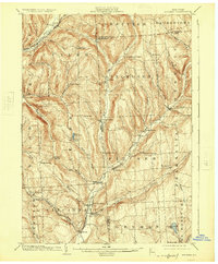
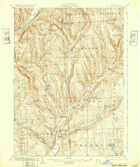
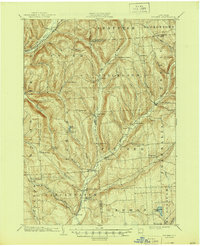
Editions of this 1904 Pitcher Map
5 editions found

Other maps of this area

1897 · Cazenovia
USGS Topo · 1:62,500

1899 · Cazenovia
USGS Topo · 1:62,500

1900 · Tully
USGS Topo · 1:62,500

1902 · Coventry
USGS Topo · 1:62,500

1902 · Morrisville
USGS Topo · 1:62,500

1903 · Norwich
USGS Topo · 1:62,500

1903 · Cortland
USGS Topo · 1:62,500

1903 · Harford
USGS Topo · 1:62,500

1904 · Greene
USGS Topo · 1:62,500

1904 · Oxford
USGS Topo · 1:62,500