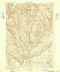
1904 Map of Pitcher
USGS Topo · Published 1932About this map
Deeply incised valleys and high ridgelines define the borderlands of Cortland and Chenango Counties at the turn of the century. The Otselic River carves a central path through the landscape, anchoring settlements like Pitcher and North Pitcher. This 1904 survey, based on field work from 1900–1901, reveals a region defined by its narrow valley corridors and upland hamlets. Transportation routes follow the water, including the Lehigh Valley R.R. in the northwest and the Erie and Central New York R.R. near Cincinnatus.
Find a feature on this map
62 named features on this map. Tap any name to fly to it.
Don’t see what you’re looking for? This feature index may not catch every label — zoom into the map to look around manually.
Map Details
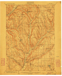
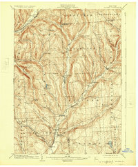
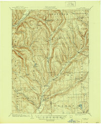
Editions of this 1904 Pitcher Map
5 editions found

Other maps of this area

1897 · Cazenovia
USGS Topo · 1:62,500

1899 · Cazenovia
USGS Topo · 1:62,500

1900 · Tully
USGS Topo · 1:62,500

1902 · Coventry
USGS Topo · 1:62,500

1902 · Morrisville
USGS Topo · 1:62,500

1903 · Norwich
USGS Topo · 1:62,500

1903 · Cortland
USGS Topo · 1:62,500

1903 · Harford
USGS Topo · 1:62,500

1904 · Greene
USGS Topo · 1:62,500

1904 · Oxford
USGS Topo · 1:62,500