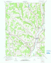
1943 Map of Cincinnatus
USGS Topo · Published 1990About this map
The Otselic River valley defines the character of this 1943 landscape, serving as the primary corridor for commerce and travel between Cincinnatus and Lower Cincinnatus. The Delaware Lackawanna and Western railroad snakes through the terrain from East Freetown, highlighting the importance of rail connectivity for the rural farming communities of Freetown and Taylor.
Find a feature on this map
40 named features on this map. Tap any name to fly to it.
Don’t see what you’re looking for? This feature index may not catch every label — zoom into the map to look around manually.
Map Details
Editions of this 1943 Cincinnatus Map
Other maps of this area

1903 · Cortland
USGS Topo · 1:62,500

1903 · Harford
USGS Topo · 1:62,500

1904 · Greene
USGS Topo · 1:62,500

1904 · Pitcher
USGS Topo · 1:62,500

1906 · Catatonk
USGS Topo · 1:125,000

1943 · South Ostelic
USGS Topo · 1:24,000

1943 · Cincinnatus
USGS Topo · 1:24,000

1943 · Cuyler
USGS Topo · 1:24,000

1943 · Pitcher
USGS Topo · 1:24,000
1944 · Cuyler
USGS Topo · 1:31,680