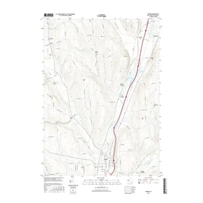
2016 Map of Homer
USGS Topo · Published 2016About this map
Homer and the surrounding river valleys of Cortlandville are defined by the convergence of the West Branch Tioughnioga River and its numerous glacial tributaries. This 21st-century survey reveals a landscape of high ridges like Brake Hill and Houghton Hill carved by deep ravines, most notably Vrooman Gulf and Homer Gulf. The valley floor is marked by a string of kettle lakes, including Upper Little York Lake, Lower Little York Lake, and Green Lake, which have historically shaped the local settlement patterns from Preble down to Pratt Corners. Genealogists will find a high density of preserved burial sites throughout the townships, from the Sessions Hill Neighborhood Cem on the eastern heights to the Scott Union Cem and the Seven Day Baptist Cem in the west, documenting the deep-rooted family lineages of the region.
Find a feature on this map
112 named features on this map. Tap any name to fly to it.
Don’t see what you’re looking for? This feature index may not catch every label — zoom into the map to look around manually.
Map Details
Editions of this 2016 Homer Map
This is the sole edition of this map. No revisions or reprints were ever made.
Other maps of this area

1898 · Moravia
USGS Topo · 1:62,500

1899 · Skaneateles
USGS Topo · 1:62,500

1900 · Tully
USGS Topo · 1:62,500

1902 · Skaneateles
USGS Topo · 1:62,500

1902 · Moravia
USGS Topo · 1:62,500

1903 · Cortland
USGS Topo · 1:62,500

1942 · Groton
USGS Topo · 1:24,000

1943 · Spafford
USGS Topo · 1:31,680

1943 · Groton
USGS Topo · 1:31,680

1943 · Otisco Valley
USGS Topo · 1:31,680