
1902 Map of Skaneateles
USGS Topo · Published 1902About this map
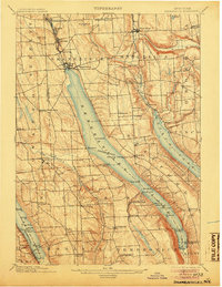
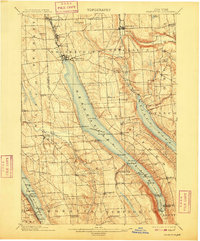
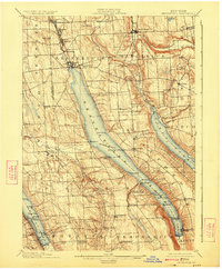
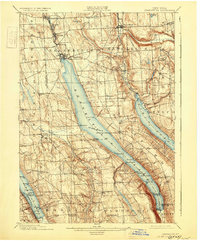
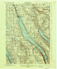
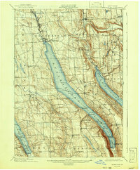
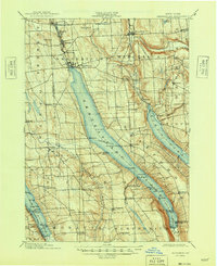
Skaneateles Lake serves as the central focal point of this Central New York landscape, flanked by the smaller but equally prominent Otisco Lake and Owasco Lake. The late nineteenth-century economy of the region is evident in the industrial and transport infrastructure, notably the Skaneateles RR connecting the manufacturing hamlets of Skaneateles Falls and Mottville to the larger village at the northern tip of the water. On the lakes themselves, a designated Steamboat Route facilitates movement between landings like Mandana, Gregory Ldg., and the resort at Glen Haven. The surrounding uplands are densely settled with small crossroads such as Shepard Settlement and Twelve Corners, while natural features like Carpenter Falls and the steep slopes of Gottle Hill define the glaciated terrain of Onondaga and Cayuga counties.
Find a feature on this map
73 named features on this map. Tap any name to fly to it.
Don’t see what you’re looking for? This feature index may not catch every label — zoom into the map to look around manually.
Map Details
Editions of this 1902 Skaneateles Map
9 editions found
Other maps of this area

1895 · Syracuse
USGS Topo · 1:62,500

1898 · Syracuse
USGS Topo · 1:62,500

1898 · Moravia
USGS Topo · 1:62,500

1899 · Auburn
USGS Topo · 1:62,500

1899 · Skaneateles
USGS Topo · 1:62,500

1900 · Baldwinsville
USGS Topo · 1:62,500

1900 · Tully
USGS Topo · 1:62,500

1902 · Moravia
USGS Topo · 1:62,500

1902 · Genoa
USGS Topo · 1:62,500

1902 · Weedsport
USGS Topo · 1:62,500