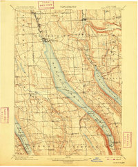
1902 Map of Skaneateles
USGS Topo · Published 1909About this map
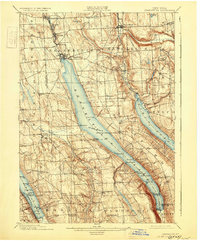
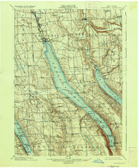
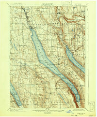
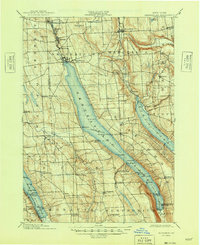
The northern reaches of the Finger Lakes region are dominated here by the long, slender expanse of Skaneateles Lake, a landscape defined at the turn of the century by its clear waters and early industrial villages. Along the northern outlet, the Skaneateles RR links the main village of Skaneateles to mill settlements like Mottville and Skaneateles Falls. The map documents a maritime era for the lakes, explicitly marking a Steamboat Route that connects points of interest such as Borodino Landing and Spafford Landing.
Find a feature on this map
74 named features on this map. Tap any name to fly to it.
Don’t see what you’re looking for? This feature index may not catch every label — zoom into the map to look around manually.
Map Details
Editions of this 1902 Skaneateles Map
9 editions found
Other maps of this area

1895 · Syracuse
USGS Topo · 1:62,500

1898 · Syracuse
USGS Topo · 1:62,500

1898 · Moravia
USGS Topo · 1:62,500

1899 · Auburn
USGS Topo · 1:62,500

1899 · Skaneateles
USGS Topo · 1:62,500

1900 · Baldwinsville
USGS Topo · 1:62,500

1900 · Tully
USGS Topo · 1:62,500

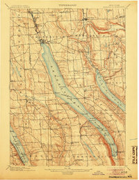
1902 · Skaneateles
USGS Topo · 1:62,500

1902 · Moravia
USGS Topo · 1:62,500

1902 · Genoa
USGS Topo · 1:62,500