
1900 Map of Baldwinsville
USGS Topo · Published 1900About this map
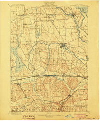
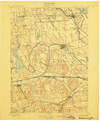
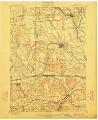
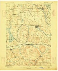
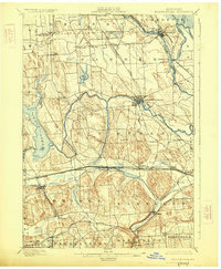
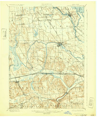
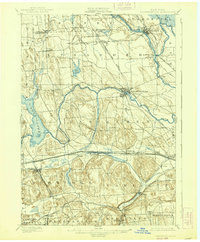
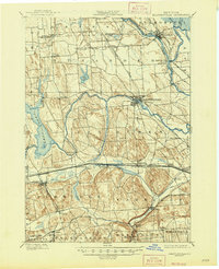
The Erie Canal cuts through the southern portion of this landscape, anchoring a network of industrial and agricultural settlements just before the turn of the century. This survey by Charles D. Walcott and Campbell W. Adams reveals a region defined by its water routes, where the Seneca River and Oswego River converge at Three River Point. The topography is marked by distinctive glacial features like Sorrel Hill and the basin of Cross Lake.
Find a feature on this map
57 named features on this map. Tap any name to fly to it.
Don’t see what you’re looking for? This feature index may not catch every label — zoom into the map to look around manually.
Map Details
Editions of this 1900 Baldwinsville Map
9 editions found
Other maps of this area

1895 · Syracuse
USGS Topo · 1:62,500

1898 · Syracuse
USGS Topo · 1:62,500

1899 · Auburn
USGS Topo · 1:62,500

1899 · Skaneateles
USGS Topo · 1:62,500

1900 · Tully
USGS Topo · 1:62,500

1900 · Oswego
USGS Topo · 1:62,500

1900 · Fulton
USGS Topo · 1:62,500

1902 · Skaneateles
USGS Topo · 1:62,500

1902 · Weedsport
USGS Topo · 1:62,500

1902 · Auburn
USGS Topo · 1:62,500