
1900 Map of Fulton
USGS Topo · Published 1900About this map
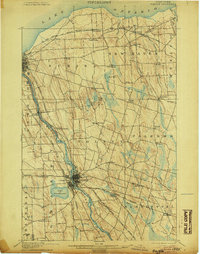
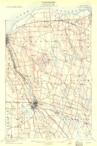
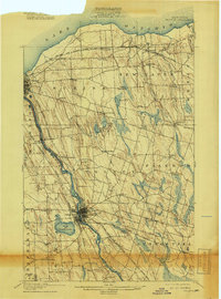
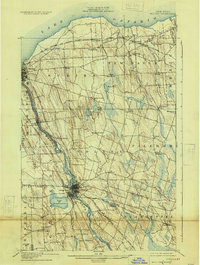
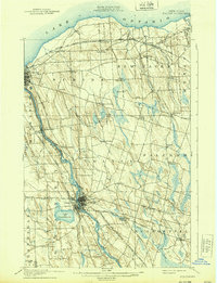
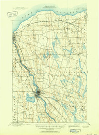
The industrial and agricultural corridor of the Oswego River dominates this late-nineteenth-century survey, revealing the complex water and rail networks between Fulton and the port of Oswego. The landscape is a network of small crossroad settlements and farming communities like Lycoming, North Scriba, and Palermo, many of which were served by the dense intersection of four different railroad divisions. The engineering of the era is evident in the canal-adjacent path of the river, passing through Oswego Falls and by landmarks such as Bundy Crossing. Further inland, the terrain is characterized by numerous water bodies like Lake Neatahwanta and glacial features such as Mud Pond, which influenced the placement of early hamlets. The map captures a moment when rural life in Oswego County was closely tied to the movement of goods through small depots at Seneca Hill and Ingalls Crossing.
Find a feature on this map
59 named features on this map. Tap any name to fly to it.
Don’t see what you’re looking for? This feature index may not catch every label — zoom into the map to look around manually.
Map Details
Editions of this 1900 Fulton Map
7 editions found
Other maps of this area

1895 · Pulaski
USGS Topo · 1:62,500

1895 · Syracuse
USGS Topo · 1:62,500

1898 · Syracuse
USGS Topo · 1:62,500

1900 · Baldwinsville
USGS Topo · 1:62,500

1900 · Oswego
USGS Topo · 1:62,500

1902 · Weedsport
USGS Topo · 1:62,500

1905 · Mexico
USGS Topo · 1:62,500

1940 · Brewerton
USGS Topo · 1:24,000

1943 · Pulaski
USGS Topo · 1:31,680

1943 · Oswego East
USGS Topo · 1:31,680