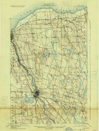
1900 Map of Fulton
USGS Topo · Published 1925About this map
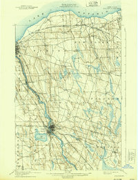
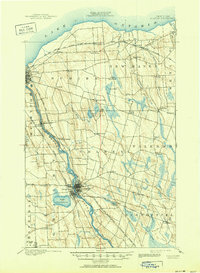
The industrial corridor of the Oswego River anchors this 1900 survey, showcasing the vital water and rail infrastructure that drove Oswego County's development. Centered on Fulton and Oswego Falls, the map illustrates a complex network of transportation, including the Oswego Canal and several major rail lines like the Delaware Lackawanna and Western R. R. The landscape transitions from the busy riverbanks to the drumlin-dotted interior, where small crossroads like Palermo and Vermilion served rural farming communities.
Find a feature on this map
61 named features on this map. Tap any name to fly to it.
Don’t see what you’re looking for? This feature index may not catch every label — zoom into the map to look around manually.
Map Details
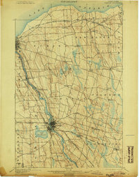
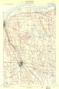
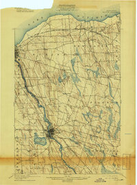
Editions of this 1900 Fulton Map
7 editions found
Other maps of this area

1895 · Pulaski
USGS Topo · 1:62,500

1895 · Syracuse
USGS Topo · 1:62,500

1898 · Syracuse
USGS Topo · 1:62,500

1900 · Baldwinsville
USGS Topo · 1:62,500

1900 · Oswego
USGS Topo · 1:62,500

1900 · Fulton
USGS Topo · 1:62,500

1902 · Weedsport
USGS Topo · 1:62,500

1905 · Mexico
USGS Topo · 1:62,500

1940 · Brewerton
USGS Topo · 1:24,000

1943 · Pulaski
USGS Topo · 1:31,680