
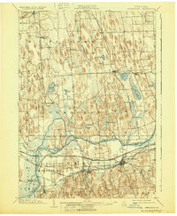
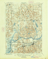
1902 Map of Weedsport
USGS Topo · Published 1902About this map
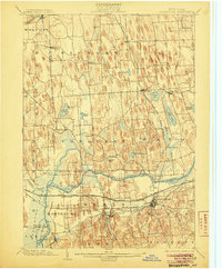
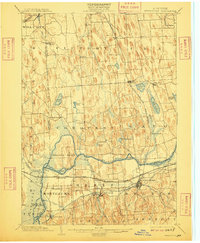
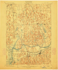
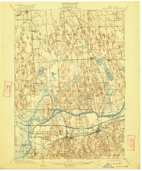
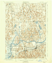
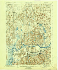
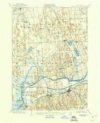
Erie Canal and Seneca Canal infrastructure dominates the southern landscape of this Cayuga County region at the turn of the century. The map illustrates a complex network of 19th-century transport, where the Canal Basin at Montezuma and the busy junction at Port Byron served as critical nodes for waterborne commerce. Beyond the canals, the terrain is defined by a dense field of glacial drumlins, forcing the New York Central and Hudson River R. R. and the West Shore R. R. to navigate around the wetlands surrounding Howland Island. Local centers of life like Weedsport, Cato, and the Brick Church settlement are shown in their late-Victorian layout. The hydrology of the region is intricately detailed, from the winding path of the Seneca River to the smaller waters of Parker Pond and Otter Lake, providing a clear look at the drainage patterns that shaped early agricultural and industrial development.
Find a feature on this map
62 named features on this map. Tap any name to fly to it.
Don’t see what you’re looking for? This feature index may not catch every label — zoom into the map to look around manually.
Map Details
Editions of this 1902 Weedsport Map
10 editions found
Other maps of this area

1899 · Auburn
USGS Topo · 1:62,500

1899 · Skaneateles
USGS Topo · 1:62,500

1900 · Baldwinsville
USGS Topo · 1:62,500

1900 · Oswego
USGS Topo · 1:62,500

1900 · Fulton
USGS Topo · 1:62,500

1902 · Sodus Bay
USGS Topo · 1:62,500

1902 · Skaneateles
USGS Topo · 1:62,500

1902 · Geneva
USGS Topo · 1:62,500

1902 · Clyde
USGS Topo · 1:62,500

1902 · Auburn
USGS Topo · 1:62,500