
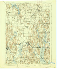
1902 Map of Clyde
USGS Topo · Published 1902About this map
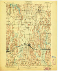
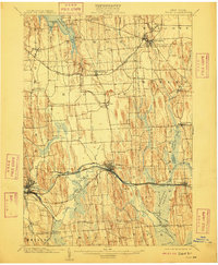
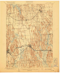
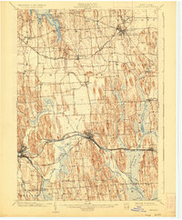
The transportation corridor through Central New York at the turn of the century is defined by the convergence of heavy rail and historic waterways. This 1899 survey illustrates a landscape in transition, where the Erie Canal runs parallel to the New York Central and Hudson River R. R. and the West Shore R. R.. A notable section of Erie Canal (Abandoned) is visible near Meadville, showing the shifting path of this vital trade route. In the north, the Rome Watertown and Ogdensburg Division connects Wolcott and Alton across a drumlin-studded terrain.
Find a feature on this map
58 named features on this map. Tap any name to fly to it.
Don’t see what you’re looking for? This feature index may not catch every label — zoom into the map to look around manually.
Map Details
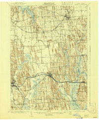
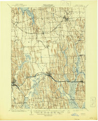
Editions of this 1902 Clyde Map
8 editions found
Other maps of this area

1899 · Auburn
USGS Topo · 1:62,500

1899 · Palmyra
USGS Topo · 1:62,500

1900 · Oswego
USGS Topo · 1:62,500

1902 · Sodus Bay
USGS Topo · 1:62,500

1902 · Pultneyville
USGS Topo · 1:62,500

1902 · Geneva
USGS Topo · 1:62,500

1902 · Phelps
USGS Topo · 1:62,500

1902 · Weedsport
USGS Topo · 1:62,500

1902 · Auburn
USGS Topo · 1:62,500

1902 · Palmyra
USGS Topo · 1:62,500