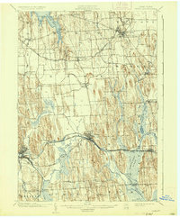
1902 Map of Clyde
USGS Topo · Published 1935About this map
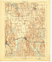
Glacial drumlins dominate the landscape between Sodus Bay and the wide wetlands of Montezuma Marsh in this 1899 survey. The industrial and transit corridor of Wayne County is clearly defined by the parallel paths of the Erie Canal and several major railroads, including the New York Central and Hudson River R.R. and the West Shore R.R.. These arteries fueled the growth of central hubs like Clyde and Lyons, while smaller hamlets such as Rose, Savannah, and Butler Center remained tied to the surrounding agricultural terrain.
Find a feature on this map
58 named features on this map. Tap any name to fly to it.
Don’t see what you’re looking for? This feature index may not catch every label — zoom into the map to look around manually.
Map Details
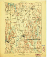
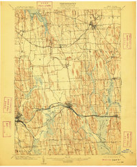
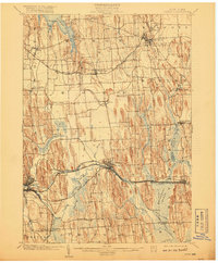
Editions of this 1902 Clyde Map
8 editions found
Other maps of this area

1899 · Auburn
USGS Topo · 1:62,500

1899 · Palmyra
USGS Topo · 1:62,500

1900 · Oswego
USGS Topo · 1:62,500

1902 · Sodus Bay
USGS Topo · 1:62,500

1902 · Pultneyville
USGS Topo · 1:62,500

1902 · Geneva
USGS Topo · 1:62,500

1902 · Clyde
USGS Topo · 1:62,500

1902 · Phelps
USGS Topo · 1:62,500

1902 · Weedsport
USGS Topo · 1:62,500

1902 · Auburn
USGS Topo · 1:62,500