
1902 Map of Geneva
USGS Topo · Published 1902About this map
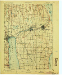
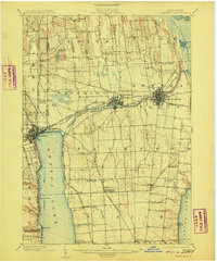
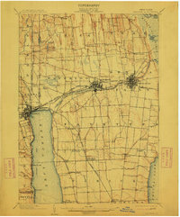
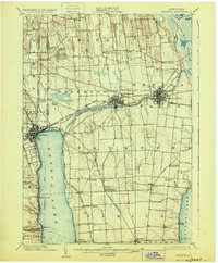
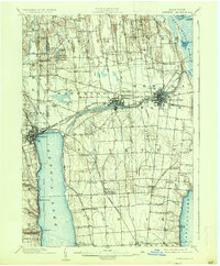
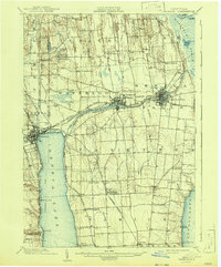
Seneca Lake and Cayuga Lake anchor this 1902 survey of the Finger Lakes region, where a dense network of steam and electric transit once connected industrial centers and agricultural landings. The landscape is defined by the Seneca Canal and Seneca River, which link the larger hubs of Waterloo and Seneca Falls with Geneva at the lake's northern tip. Inland, the terrain is shaped by the unique north-south drumlin formations and the expansive Tyre Marsh to the northeast.
Find a feature on this map
72 named features on this map. Tap any name to fly to it.
Don’t see what you’re looking for? This feature index may not catch every label — zoom into the map to look around manually.
Map Details
Editions of this 1902 Geneva Map
7 editions found
Other maps of this area

1899 · Auburn
USGS Topo · 1:62,500

1899 · Palmyra
USGS Topo · 1:62,500

1902 · Clyde
USGS Topo · 1:62,500

1902 · Phelps
USGS Topo · 1:62,500

1902 · Genoa
USGS Topo · 1:62,500

1902 · Ovid
USGS Topo · 1:62,500

1902 · Weedsport
USGS Topo · 1:62,500

1902 · Auburn
USGS Topo · 1:62,500

1902 · Palmyra
USGS Topo · 1:62,500

1903 · Penn Yan
USGS Topo · 1:62,500