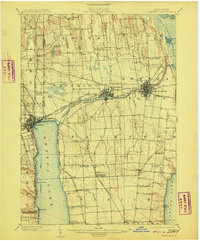
1902 Map of Geneva
USGS Topo · Published 1909About this map
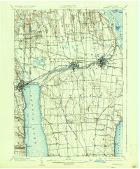
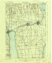
Geneva, Waterloo, and Seneca Falls serve as the primary hubs of this Finger Lakes industrial and transit landscape at the turn of the century. The map highlights a dense infrastructure of movement, notably the Seneca Canal and the Seneca River, which weave between the major settlements. On the waters of Seneca Lake, a designated Steamboat Route connects the lakefront towns to southern landings. The rail network is particularly intricate here, featuring several major lines including the Pennsylvania Division and the Lehigh Valley R. R., alongside the Seneca Falls Branch and the Ithaca Branch. To the north, the landscape is dotted with smaller ponds like Vandemark Pond and Lowery Pond, while the southern interior is defined by agricultural hamlets such as West Fayette Mac Dougall, Rose Hill, and Kuneytown.
Find a feature on this map
69 named features on this map. Tap any name to fly to it.
Don’t see what you’re looking for? This feature index may not catch every label — zoom into the map to look around manually.
Map Details
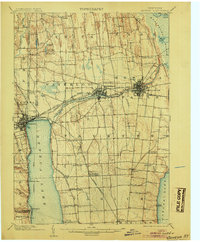
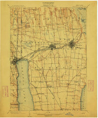
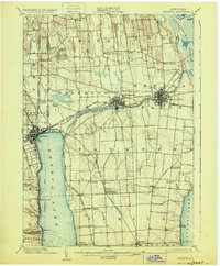
Editions of this 1902 Geneva Map
7 editions found
Other maps of this area

1899 · Auburn
USGS Topo · 1:62,500

1899 · Palmyra
USGS Topo · 1:62,500

1902 · Geneva
USGS Topo · 1:62,500

1902 · Clyde
USGS Topo · 1:62,500

1902 · Phelps
USGS Topo · 1:62,500

1902 · Genoa
USGS Topo · 1:62,500

1902 · Ovid
USGS Topo · 1:62,500

1902 · Weedsport
USGS Topo · 1:62,500

1902 · Auburn
USGS Topo · 1:62,500

1902 · Palmyra
USGS Topo · 1:62,500