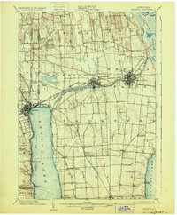
1902 Map of Geneva
USGS Topo · Published 1928About this map
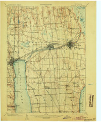
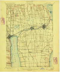
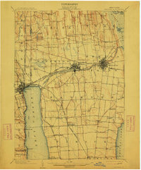
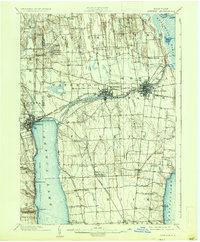
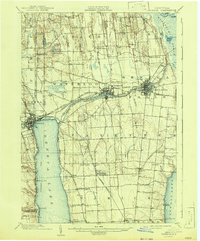
Seneca Lake and Cayuga Lake anchor this 1902 survey, which illustrates the complex transportation networks of the Finger Lakes region at the turn of the century. The landscape is dominated by the sprawling Montezuma Marsh in the northeast, through which the Clyde River and the Barge canal system navigate toward Black Lake. The industrial and commercial hubs of Geneva, Waterloo, and Seneca Falls are depicted in detail, showing their dense street grids and proximity to the Seneca River and Seneca Canal.
Find a feature on this map
69 named features on this map. Tap any name to fly to it.
Don’t see what you’re looking for? This feature index may not catch every label — zoom into the map to look around manually.
Map Details
Editions of this 1902 Geneva Map
7 editions found
Other maps of this area

1899 · Auburn
USGS Topo · 1:62,500

1899 · Palmyra
USGS Topo · 1:62,500

1902 · Geneva
USGS Topo · 1:62,500

1902 · Clyde
USGS Topo · 1:62,500

1902 · Phelps
USGS Topo · 1:62,500

1902 · Genoa
USGS Topo · 1:62,500

1902 · Ovid
USGS Topo · 1:62,500

1902 · Weedsport
USGS Topo · 1:62,500

1902 · Auburn
USGS Topo · 1:62,500

1902 · Palmyra
USGS Topo · 1:62,500