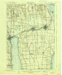
1902 Map of Geneva
USGS Topo · Published 1943About this map
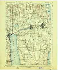
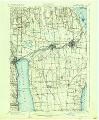
Industrial and maritime activity defines the landscape between the northern tips of the Finger Lakes at the turn of the century. The city of Geneva anchors the western edge of Seneca Lake, while the hubs of Waterloo and Seneca Falls utilize the power of the Seneca River and the connectivity of the Seneca Canal. To the north, the vast Montezuma Marsh transitions into the Clyde River and the emerging Barge Canal system.
Find a feature on this map
63 named features on this map. Tap any name to fly to it.
Don’t see what you’re looking for? This feature index may not catch every label — zoom into the map to look around manually.
Map Details
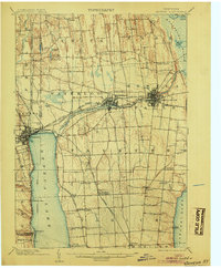
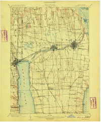
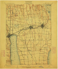
Editions of this 1902 Geneva Map
7 editions found
Other maps of this area

1899 · Auburn
USGS Topo · 1:62,500

1899 · Palmyra
USGS Topo · 1:62,500

1902 · Geneva
USGS Topo · 1:62,500

1902 · Clyde
USGS Topo · 1:62,500

1902 · Phelps
USGS Topo · 1:62,500

1902 · Genoa
USGS Topo · 1:62,500

1902 · Ovid
USGS Topo · 1:62,500

1902 · Weedsport
USGS Topo · 1:62,500

1902 · Auburn
USGS Topo · 1:62,500

1902 · Palmyra
USGS Topo · 1:62,500