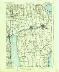
1902 Map of Geneva
USGS Topo · Published 1937About this map
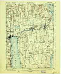
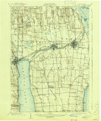
Geneva, Waterloo, and Seneca Falls form the industrial and transit core of this Finger Lakes landscape at the turn of the century. The map captures a complex network of waterways and early infrastructure, including the Seneca Canal, the Barge Canal, and the Seneca River. To the northeast, the expanse of the Montezuma Marsh and Black Lake contrasts with the dense settlement patterns along the railroads. Rail transport is central to the region's economy, with the Lehigh Valley R. R., New York Central and Hudson River R. R., and specialized lines like the Seneca Falls Branch and Ithaca Branch crisscrossing the terrain. Smaller landings and stations such as Billsboro Sta., Kashong Pt., and Wilson Dey Landing line the shores of Seneca Lake, illustrating the era's reliance on both rail and water for moving goods and people between agricultural hamlets like Fayette and Varick.
Find a feature on this map
75 named features on this map. Tap any name to fly to it.
Don’t see what you’re looking for? This feature index may not catch every label — zoom into the map to look around manually.
Map Details
Editions of this 1902 Geneva Map
7 editions found
Other maps of this area

1899 · Auburn
USGS Topo · 1:62,500

1899 · Palmyra
USGS Topo · 1:62,500

1902 · Geneva
USGS Topo · 1:62,500

1902 · Clyde
USGS Topo · 1:62,500

1902 · Phelps
USGS Topo · 1:62,500

1902 · Genoa
USGS Topo · 1:62,500

1902 · Ovid
USGS Topo · 1:62,500

1902 · Weedsport
USGS Topo · 1:62,500

1902 · Auburn
USGS Topo · 1:62,500

1902 · Palmyra
USGS Topo · 1:62,500