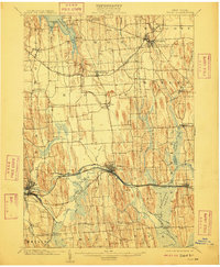
1902 Map of Clyde
USGS Topo · Published 1909About this map
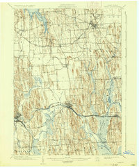
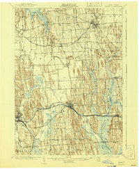
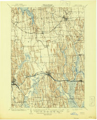
Clyde and Lyons serve as the primary hubs of commerce and transport in this Wayne County landscape at the turn of the century. The Erie Canal cuts through the center of the sheet, shadowing the Clyde River, while a section of the Erie Canal (Abandoned) near Meadville suggests the evolving infrastructure of the era. Northward, the topography is defined by the unique glacial drumlins that separate small settlements like Rose and Butler Center.
Find a feature on this map
58 named features on this map. Tap any name to fly to it.
Don’t see what you’re looking for? This feature index may not catch every label — zoom into the map to look around manually.
Map Details
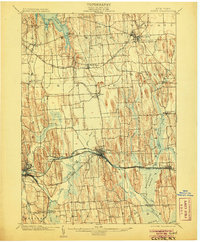
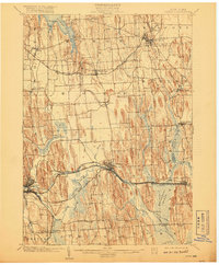
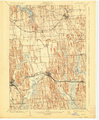
Editions of this 1902 Clyde Map
8 editions found
Other maps of this area

1899 · Auburn
USGS Topo · 1:62,500

1899 · Palmyra
USGS Topo · 1:62,500

1900 · Oswego
USGS Topo · 1:62,500

1902 · Sodus Bay
USGS Topo · 1:62,500

1902 · Pultneyville
USGS Topo · 1:62,500

1902 · Geneva
USGS Topo · 1:62,500

1902 · Clyde
USGS Topo · 1:62,500

1902 · Phelps
USGS Topo · 1:62,500

1902 · Weedsport
USGS Topo · 1:62,500

1902 · Auburn
USGS Topo · 1:62,500