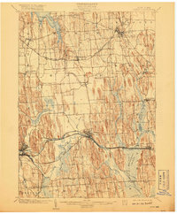
1902 Map of Clyde
USGS Topo · Published 1918About this map
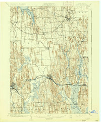
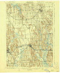
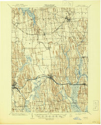
The Erie Canal and the Clyde River define the industrial and transport backbone of this central New York landscape, cutting through a series of north-south drumlins. In the south, the vast Montezuma Marsh dominates the terrain near Savannah, while the northern reaches of the map touch upon the deep indentations of Sodus Bay at Resort. The settlement pattern reflects the late 19th-century reliance on both water and rail, with towns like Clyde and Lyons positioned strategically along the primary waterways and the New York Central and Hudson River R. R.. Smaller agricultural hamlets such as Butler Center, Marengo, and North Rose are interspersed between the ridges, connected by a network of early roads that negotiate the steep hills. This survey also records the Rome Watertown and Ogdensburg Division and the West Shore R. R., illustrating the high density of competing rail lines before the era of consolidation.
Find a feature on this map
52 named features on this map. Tap any name to fly to it.
Don’t see what you’re looking for? This feature index may not catch every label — zoom into the map to look around manually.
Map Details
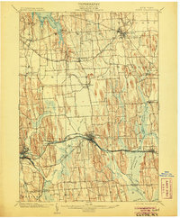
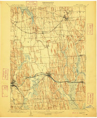
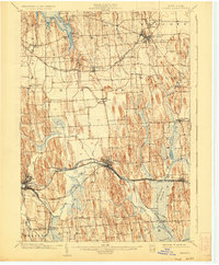
Editions of this 1902 Clyde Map
8 editions found
Other maps of this area

1899 · Auburn
USGS Topo · 1:62,500

1899 · Palmyra
USGS Topo · 1:62,500

1900 · Oswego
USGS Topo · 1:62,500

1902 · Sodus Bay
USGS Topo · 1:62,500

1902 · Pultneyville
USGS Topo · 1:62,500

1902 · Geneva
USGS Topo · 1:62,500

1902 · Clyde
USGS Topo · 1:62,500

1902 · Phelps
USGS Topo · 1:62,500

1902 · Weedsport
USGS Topo · 1:62,500

1902 · Auburn
USGS Topo · 1:62,500