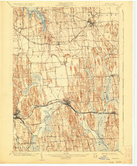
1902 Map of Clyde
USGS Topo · Published 1925About this map
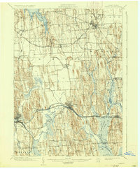
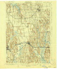
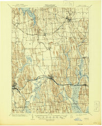
The Erie Canal and Clyde River dominate the southern landscape of Wayne County, illustrating the vital transportation corridor that fueled Central New York's development. This 1899 survey captures the region just before the turn of the century, showing the dense network of the New York Central and Hudson River RR and the West Shore RR paralleling the canal. The terrain is defined by a striking series of north-south glacial drumlins that dictate the placement of roads and farms between Clyde and Wolcott. To the east, the vast Montezuma Marsh and Crusoe Lake represent a significant natural barrier and wetland ecosystem. Local commerce and rural life are anchored by smaller settlements like Butler Center, North Rose, and Lock Berlin, each serving as a focal point for the surrounding agricultural townships of Rose, Butler, and Savannah.
Find a feature on this map
54 named features on this map. Tap any name to fly to it.
Don’t see what you’re looking for? This feature index may not catch every label — zoom into the map to look around manually.
Map Details
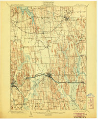
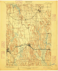
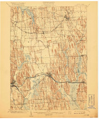
Editions of this 1902 Clyde Map
8 editions found
Other maps of this area

1899 · Auburn
USGS Topo · 1:62,500

1899 · Palmyra
USGS Topo · 1:62,500

1900 · Oswego
USGS Topo · 1:62,500

1902 · Sodus Bay
USGS Topo · 1:62,500

1902 · Pultneyville
USGS Topo · 1:62,500

1902 · Geneva
USGS Topo · 1:62,500

1902 · Clyde
USGS Topo · 1:62,500

1902 · Phelps
USGS Topo · 1:62,500

1902 · Weedsport
USGS Topo · 1:62,500

1902 · Auburn
USGS Topo · 1:62,500