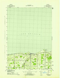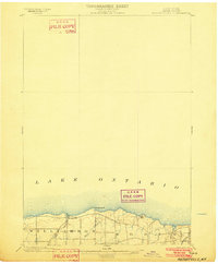
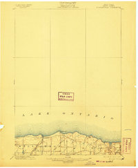
1902 Map of Pultneyville
USGS Topo · Published 1902About this map
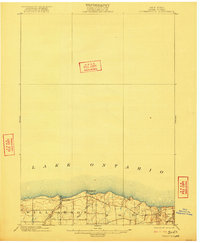
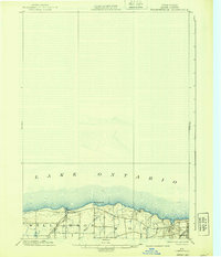
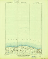
Pultneyville sits at the heart of this coastal survey, where the township lines of Williamson and Sodus meet the shoreline of Lake Ontario. Surveyed just before the turn of the century, the map captures the rural character of Wayne County as it was integrated into the regional transportation network. The southern edge of the sheet reveals the early influence of the Electric R. R. and the N. C. R. R. L. E., showcasing the shift from waterborne commerce to rail-driven industry. The terrain is marked by prominent coastal features like Fairbanks Pt. and the winding course of Salmon Creek, which drains into the lake through the orchard-heavy landscape typical of the region's agricultural heyday.
Find a feature on this map
7 named features on this map. Tap any name to fly to it.
Don’t see what you’re looking for? This feature index may not catch every label — zoom into the map to look around manually.
Map Details
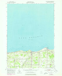
Editions of this 1902 Pultneyville Map
5 editions found
Historical Maps of Sodus Through Time
8 maps found