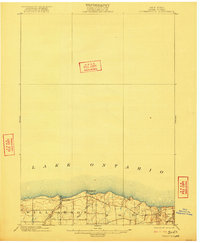
1902 Map of Pultneyville
USGS Topo · Published 1922About this map
Pultneyville sits prominently along the southern shore of Lake Ontario in this turn-of-the-century topographic record. The landscape reflects a transition in rural transport, captured shortly before the internal combustion engine reshaped local travel. An Electric R. R. cuts across the southeastern corner, signifying the era of interurban rail that briefly connected these lakeside communities. The terrain is defined by glacial features and watercourses such as Salmon Creek and Mink Creek, which drain the agricultural lands of Williamson and Sodus toward the lake. Distinctive shore features like Fairbanks Pt. and Nigger Hill provide clear reference points for those studying the original coastline and early property distributions before mid-century development. This survey, conducted in 1898, preserves the exact road network and building placements of a late-19th-century maritime and farming district.
Find a feature on this map
9 named features on this map. Tap any name to fly to it.
Don’t see what you’re looking for? This feature index may not catch every label — zoom into the map to look around manually.
Map Details
Editions of this 1902 Pultneyville Map
5 editions found
Other maps of this area

1899 · Palmyra
USGS Topo · 1:62,500

1900 · Macedon
USGS Topo · 1:62,500

1902 · Sodus Bay
USGS Topo · 1:62,500

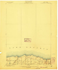
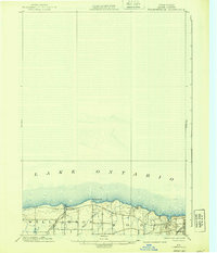
1902 · Pultneyville
USGS Topo · 1:62,500

1902 · Clyde
USGS Topo · 1:62,500

1902 · Palmyra
USGS Topo · 1:62,500

1942 · Ontario
USGS Topo · 1:31,680

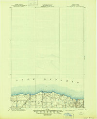
1942 · Pultneyville
USGS Topo · 1:31,680

1943 · Williamson
USGS Topo · 1:31,680

1943 · Sodus Point
USGS Topo · 1:31,680