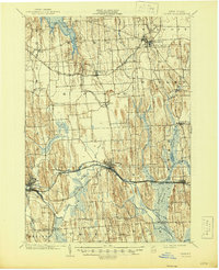
1902 Map of Clyde
USGS Topo · Published 1945About this map
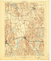
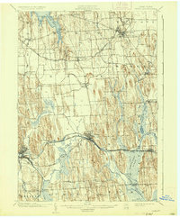
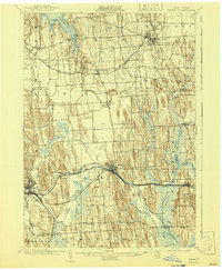
The Clyde River corridor serves as the industrial and transit spine of this Wayne County landscape at the turn of the century. The map illustrates a dense network of water and rail infrastructure, including the functional Erie Canal and segments marked as the Erie (Abandoned) Canal, reflecting the evolution of New York’s inland waterways. Significant engineering by the New York Central and Hudson River R. R. and the West Shore R. R. brackets the river, facilitating the growth of manufacturing centers like Clyde and Lyons. To the southeast, the expansive Montezuma Marsh dominates the terrain, while the northern extent reaches the southern tip of Sodus Bay at Resort. This 1899 survey captures the region just before the shift toward modern highway dominance, showing a landscape defined by glacial drumlins and the vital connections between rural hamlets like South Butler and North Rose.
Find a feature on this map
56 named features on this map. Tap any name to fly to it.
Don’t see what you’re looking for? This feature index may not catch every label — zoom into the map to look around manually.
Map Details
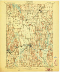
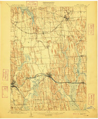
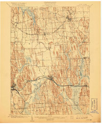
Editions of this 1902 Clyde Map
8 editions found
Other maps of this area

1899 · Auburn
USGS Topo · 1:62,500

1899 · Palmyra
USGS Topo · 1:62,500

1900 · Oswego
USGS Topo · 1:62,500

1902 · Sodus Bay
USGS Topo · 1:62,500

1902 · Pultneyville
USGS Topo · 1:62,500

1902 · Geneva
USGS Topo · 1:62,500

1902 · Clyde
USGS Topo · 1:62,500

1902 · Phelps
USGS Topo · 1:62,500

1902 · Weedsport
USGS Topo · 1:62,500

1902 · Auburn
USGS Topo · 1:62,500