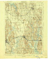
1902 Map of Clyde
USGS Topo · Published 1941About this map
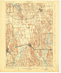
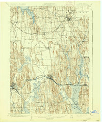
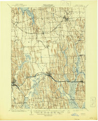
Erie Canal traffic and complex rail networks define this central New York corridor at the opening of the 20th century. The landscape is dominated by the unique drumlin field topography of Wayne County, with elongated hills flanking the Clyde River and the expansive Montezuma Marsh. Industrial and transit hubs like Lyons and Clyde serve as focal points for the New York Central and Hudson River Railroad and the West Shore Railroad, illustrating the region's importance as a transportation gateway.
Find a feature on this map
54 named features on this map. Tap any name to fly to it.
Don’t see what you’re looking for? This feature index may not catch every label — zoom into the map to look around manually.
Map Details
Editions of this 1902 Clyde Map
8 editions found
Other maps of this area

1899 · Auburn
USGS Topo · 1:62,500

1899 · Palmyra
USGS Topo · 1:62,500

1900 · Oswego
USGS Topo · 1:62,500

1902 · Sodus Bay
USGS Topo · 1:62,500

1902 · Pultneyville
USGS Topo · 1:62,500

1902 · Geneva
USGS Topo · 1:62,500

1902 · Clyde
USGS Topo · 1:62,500

1902 · Phelps
USGS Topo · 1:62,500

1902 · Weedsport
USGS Topo · 1:62,500

1902 · Auburn
USGS Topo · 1:62,500