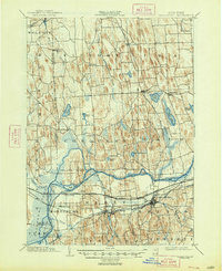
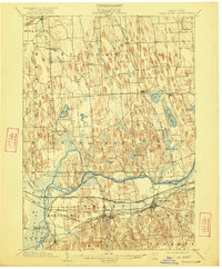
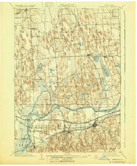
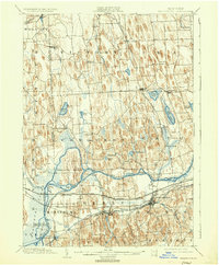
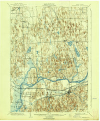
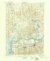
1902 Map of Weedsport
USGS Topo · Published 1948About this map
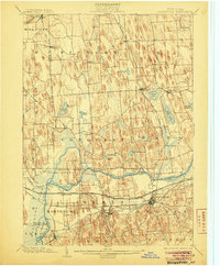
The Seneca River winds through this central New York landscape, defining the northern border of the massive Howland Island. This 1902 survey, reprinted in the late 1940s, captures a transition in inland navigation and rail infrastructure. The Erie Canal is visible alongside the State Barge Canal, threading through settlements like Port Byron and Montezuma. Further south, the commercial importance of Weedsport is cemented by its position as a hub for the New York Central and Hudson River railroad and the canal basin.
Find a feature on this map
67 named features on this map. Tap any name to fly to it.
Don’t see what you’re looking for? This feature index may not catch every label — zoom into the map to look around manually.
Map Details
Editions of this 1902 Weedsport Map
10 editions found
Other maps of this area

1899 · Auburn
USGS Topo · 1:62,500

1899 · Skaneateles
USGS Topo · 1:62,500

1900 · Baldwinsville
USGS Topo · 1:62,500

1900 · Oswego
USGS Topo · 1:62,500

1900 · Fulton
USGS Topo · 1:62,500

1902 · Sodus Bay
USGS Topo · 1:62,500

1902 · Skaneateles
USGS Topo · 1:62,500

1902 · Geneva
USGS Topo · 1:62,500

1902 · Clyde
USGS Topo · 1:62,500

1902 · Weedsport
USGS Topo · 1:62,500