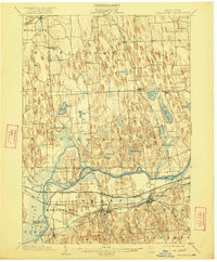
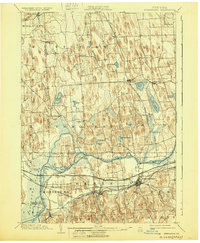
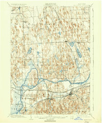
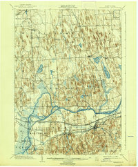
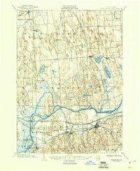
1902 Map of Weedsport
USGS Topo · Published 1922About this map
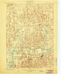
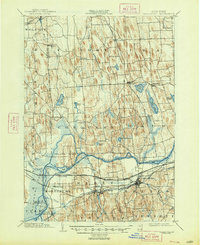
The Seneca River winds through a landscape of drumlins and glacial wetlands, defining the industrial and agricultural character of Central New York at the dawn of the twentieth century. This survey highlights the complex waterway network of the Barge Canal, Seneca Canal, and Cayuga Canal, which supported the commerce of the many canal-side villages. Significant rail infrastructure, including the Lehigh Valley RR and the West Shore RR (Electric), parallels the water routes, illustrating the period's shift toward high-speed transit. The prominent Howland Island and the extensive Montezuma Canal Basin show the area's transition from wild marshland to a managed landscape of transit and drainage. Surrounding these corridors are numerous small agricultural settlements like Brick Church and Conquest, connected by an intricate web of local roads before the advent of modern highways.
Find a feature on this map
64 named features on this map. Tap any name to fly to it.
Don’t see what you’re looking for? This feature index may not catch every label — zoom into the map to look around manually.
Map Details
Editions of this 1902 Weedsport Map
10 editions found
Other maps of this area

1899 · Auburn
USGS Topo · 1:62,500

1899 · Skaneateles
USGS Topo · 1:62,500

1900 · Baldwinsville
USGS Topo · 1:62,500

1900 · Oswego
USGS Topo · 1:62,500

1900 · Fulton
USGS Topo · 1:62,500

1902 · Sodus Bay
USGS Topo · 1:62,500

1902 · Skaneateles
USGS Topo · 1:62,500

1902 · Geneva
USGS Topo · 1:62,500

1902 · Clyde
USGS Topo · 1:62,500

1902 · Weedsport
USGS Topo · 1:62,500