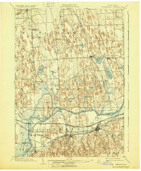
1902 Map of Weedsport
USGS Topo · Published 1930About this map
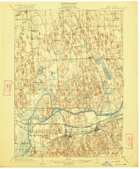
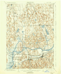
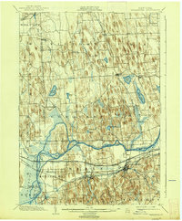
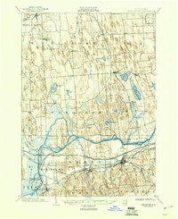
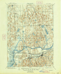
The Seneca River and the complex infrastructure of early 20th-century transportation dominate this landscape at the intersection of Wayne and Cayuga counties. At the time of this survey, the region was a bustling hub of inland water and rail traffic, centered on major settlements like Weedsport and Port Byron. The transition from old canal systems to modern corridors is visible in the alignment of the Barge Canal and the Seneca Canal, which run parallel to a dense network of competing rail lines. Among these are the Lehigh Valley RR and the Rochester Syracuse and Eastern Electric RR, illustrating the peak of the interurban and steam rail era.
Find a feature on this map
63 named features on this map. Tap any name to fly to it.
Don’t see what you’re looking for? This feature index may not catch every label — zoom into the map to look around manually.
Map Details
Editions of this 1902 Weedsport Map
10 editions found
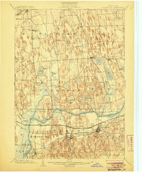
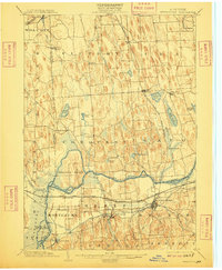
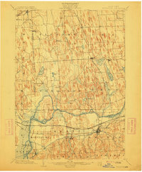
Other maps of this area

1899 · Auburn
USGS Topo · 1:62,500

1899 · Skaneateles
USGS Topo · 1:62,500

1900 · Baldwinsville
USGS Topo · 1:62,500

1900 · Oswego
USGS Topo · 1:62,500

1900 · Fulton
USGS Topo · 1:62,500

1902 · Sodus Bay
USGS Topo · 1:62,500

1902 · Skaneateles
USGS Topo · 1:62,500

1902 · Geneva
USGS Topo · 1:62,500

1902 · Clyde
USGS Topo · 1:62,500

1902 · Weedsport
USGS Topo · 1:62,500